Maxwell Falls photos

The falls through the year

The falls change a lot over a year. In June they’re loud and white; by January they can be a wall of ice. Neighbors and friends of the trail took these photos, and each is credited to its photographer. Please ask before reusing any of them.

Spring and summer

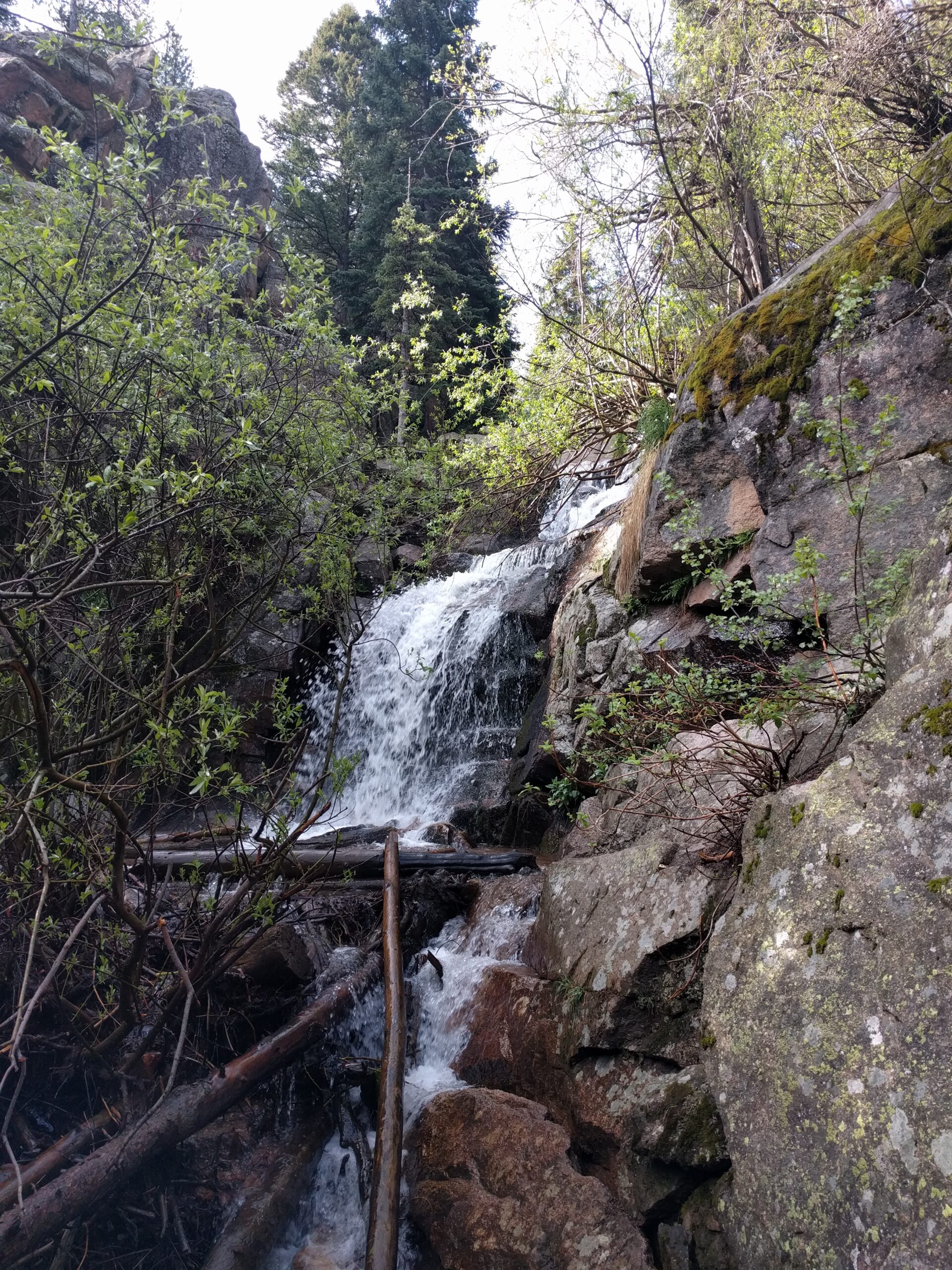
Maxwell Falls in spring runoff, white water cascading over tiered granite ledges among fresh green willows
Maxwell Falls in early June, near peak spring flow.
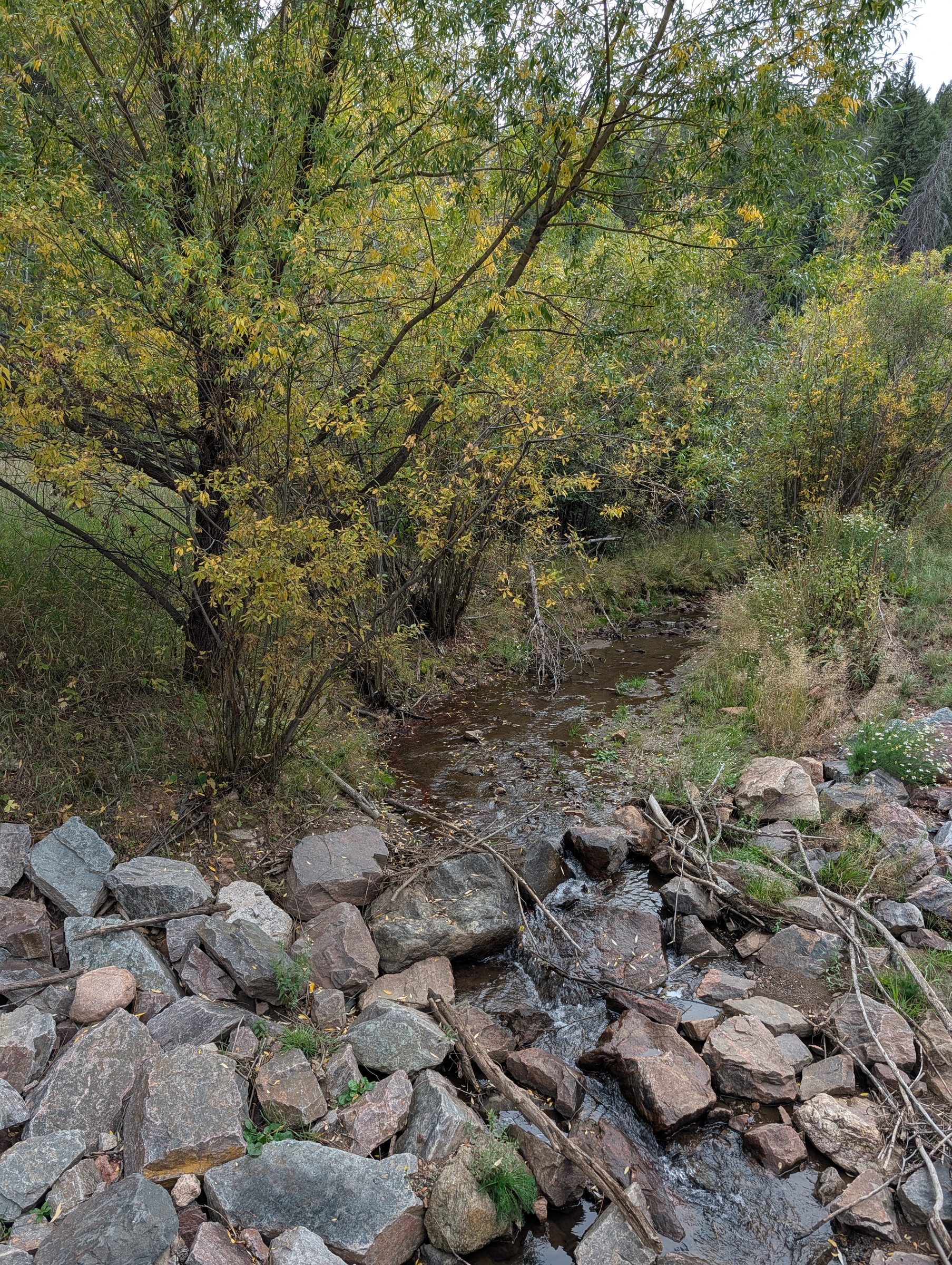
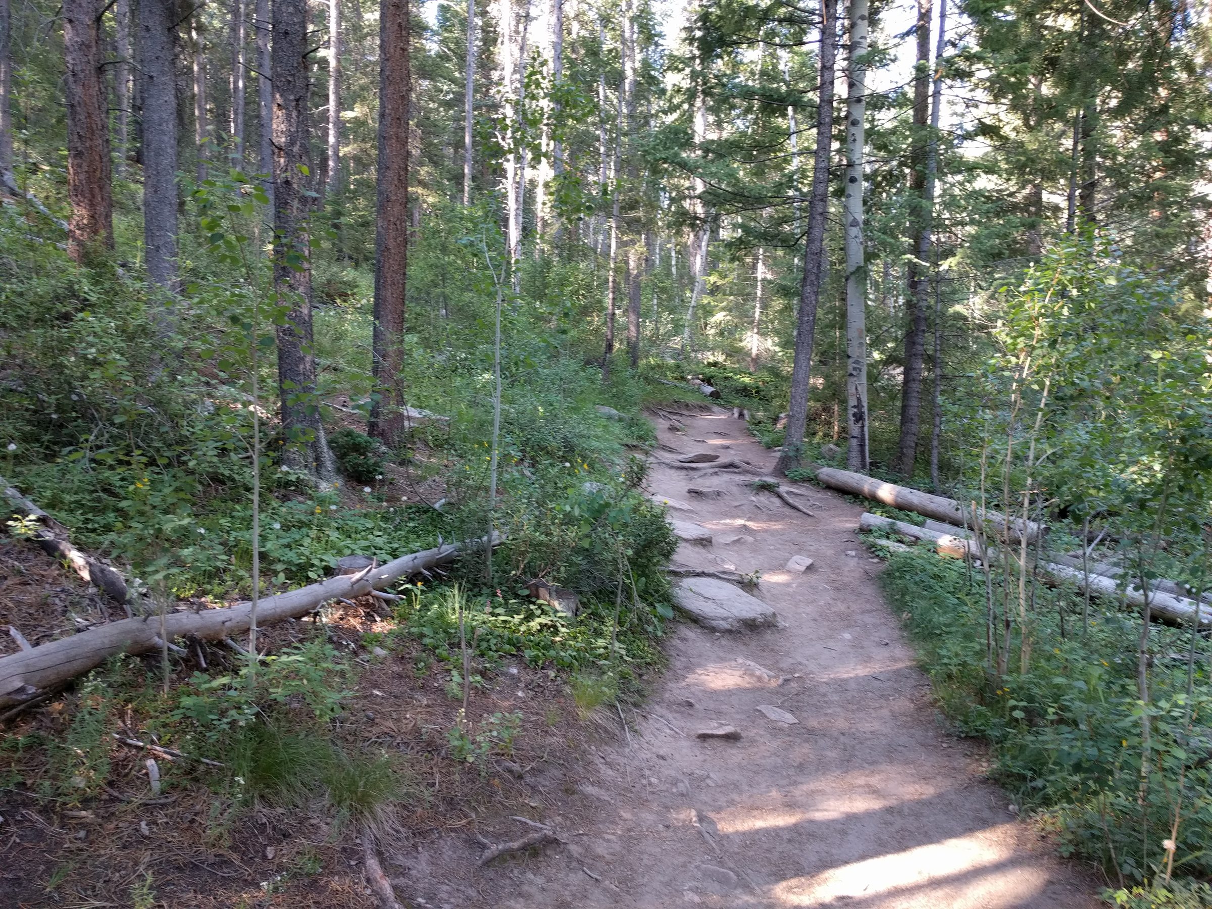
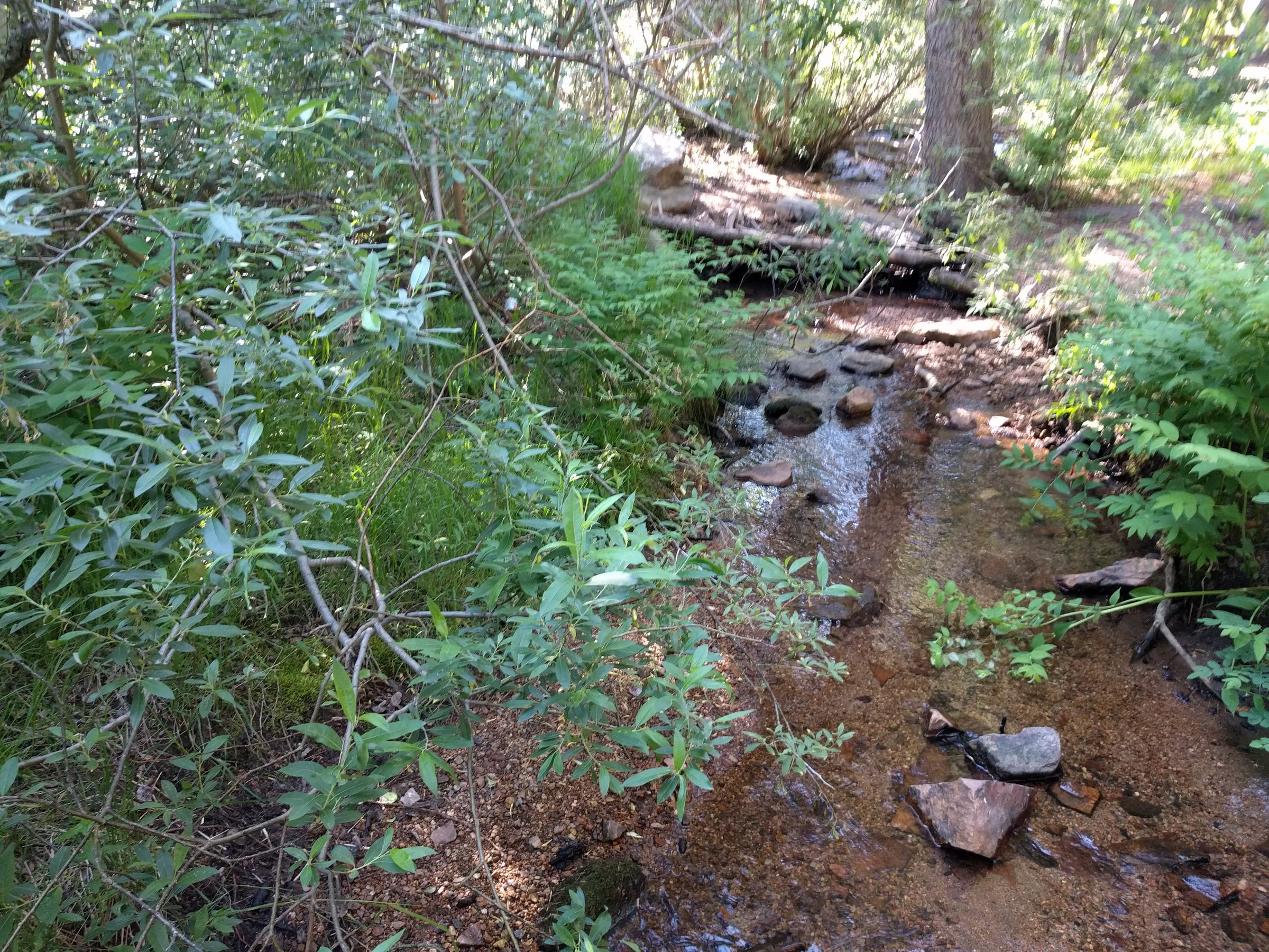
Maxwell Creek running shallow over red-brown stones between willows and ferns.
Maxwell Creek beside the upper trail in early July.
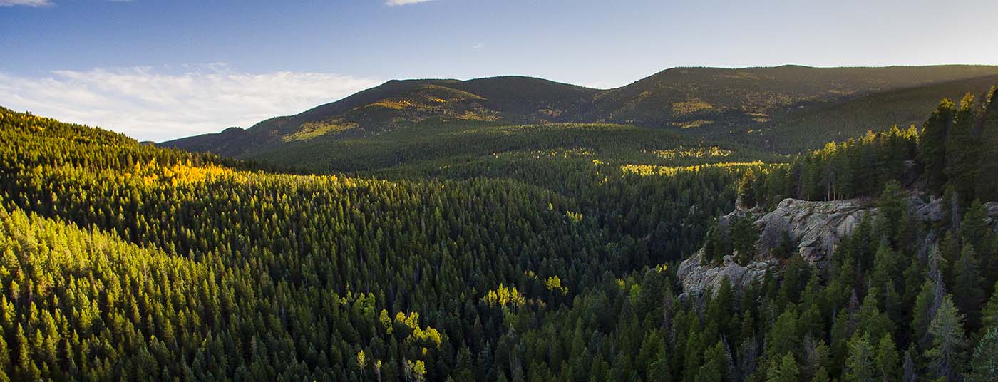
Aerial view of the pine-forested hills and granite outcrops around Maxwell Falls, with early autumn aspens turning gold
Aerial view of the forest around Maxwell Falls in late September.

Late May through June is peak flow. See Seasons.

Fall

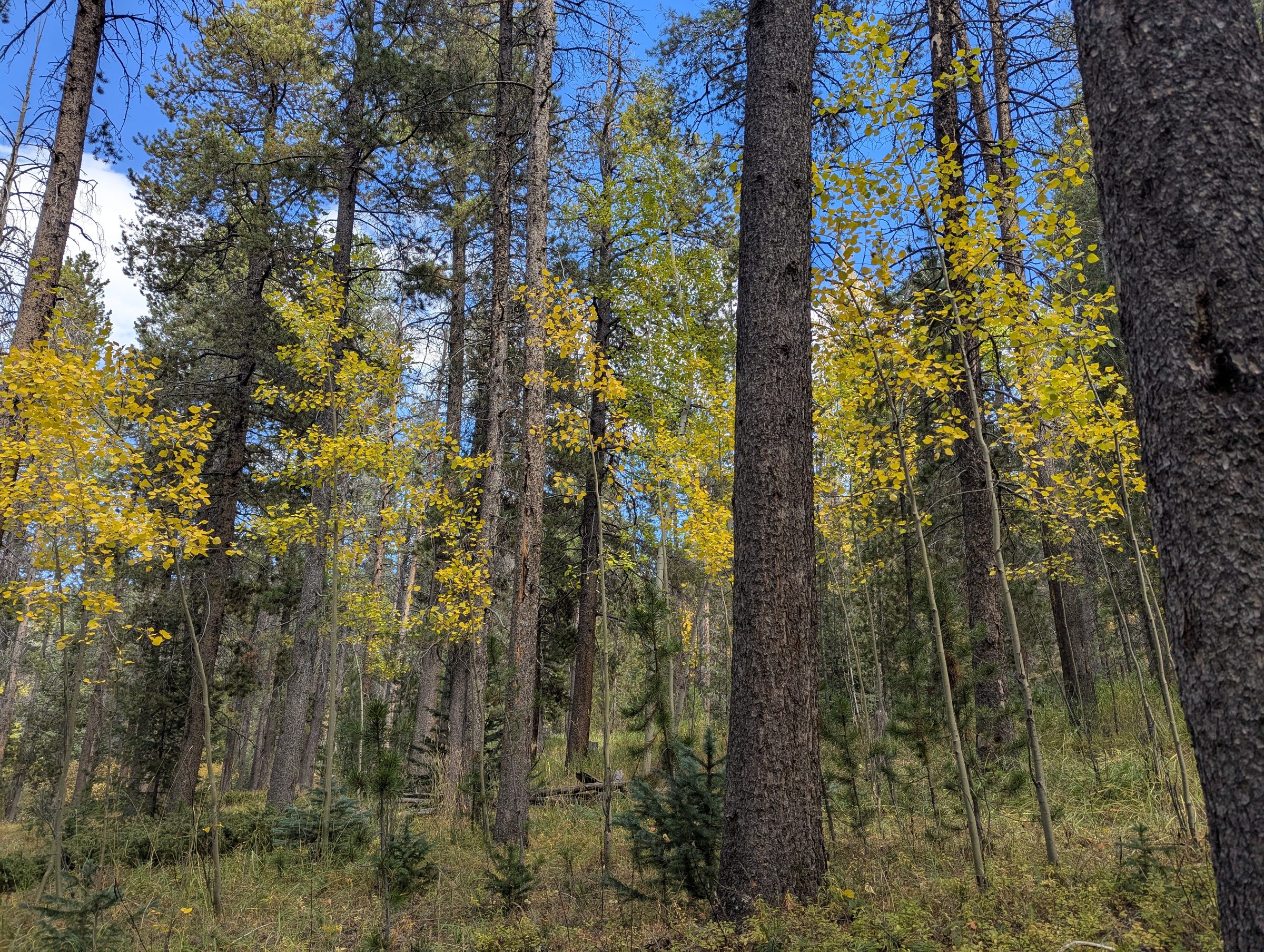
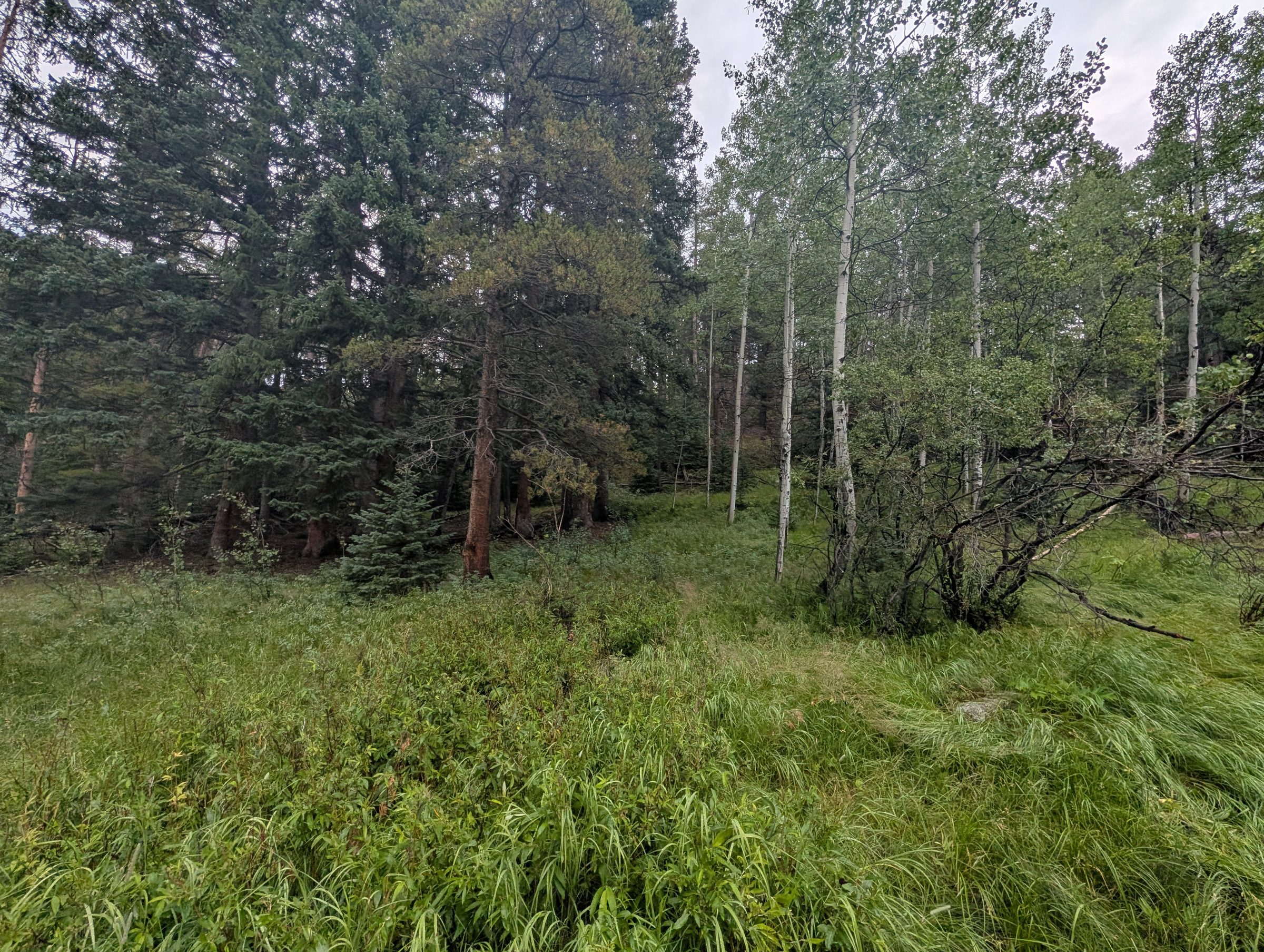
Golden aspens glowing among tall ponderosa pines under a blue sky.
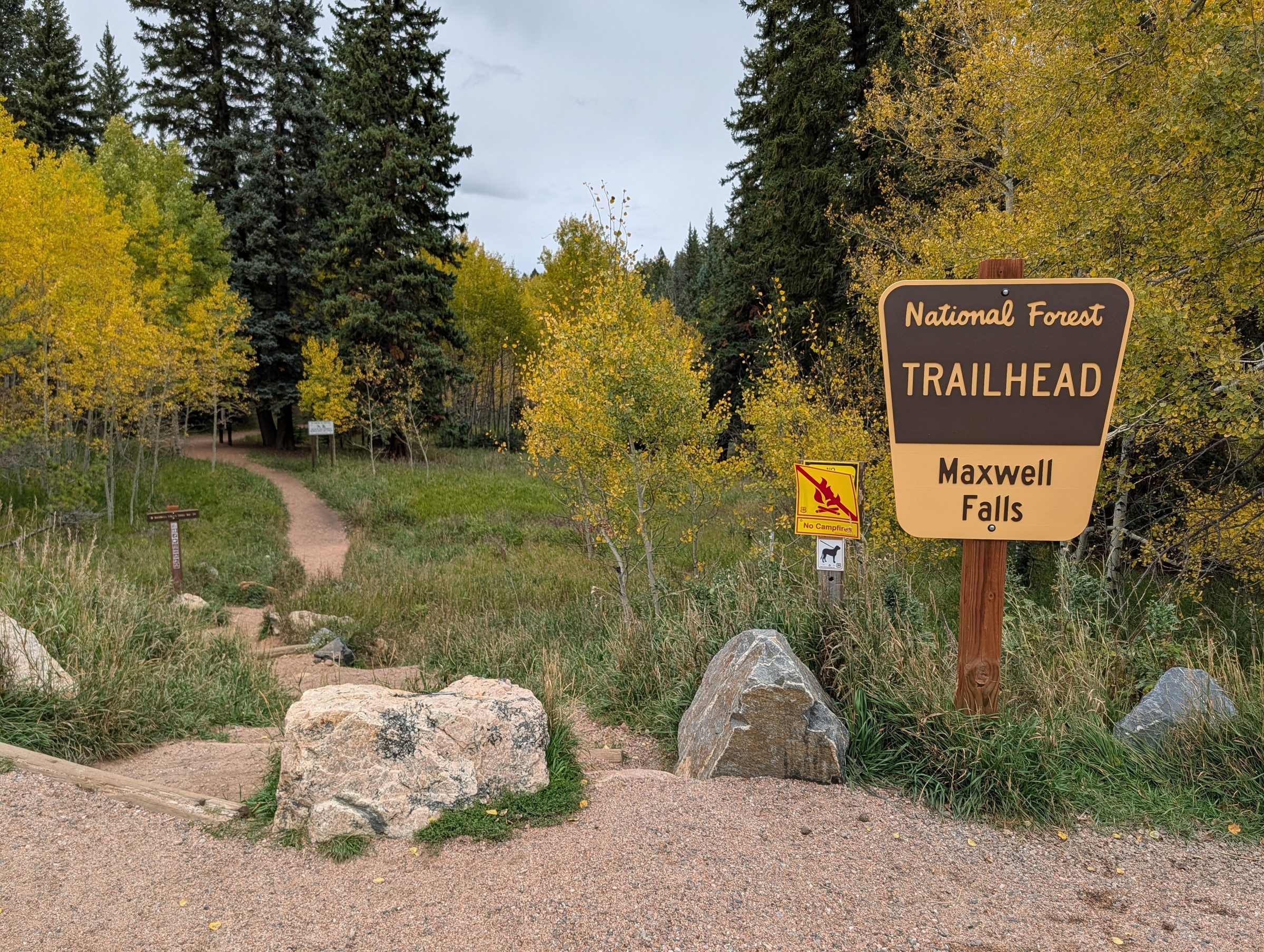
Aspens turning gold in late September.
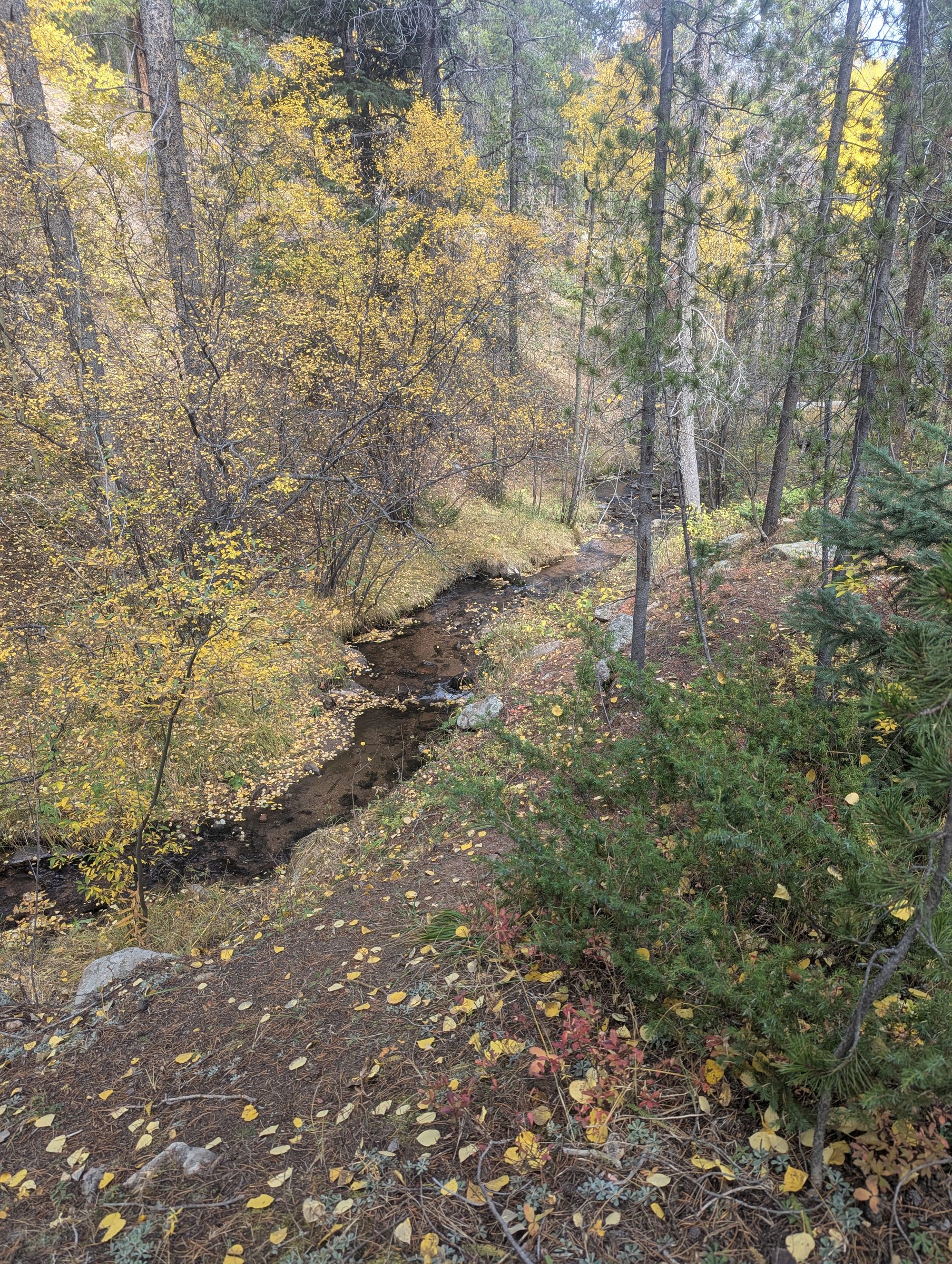
A creek running through a narrow valley of yellow aspen and willow leaves.
Fall color along Maxwell Creek in early October.

Winter

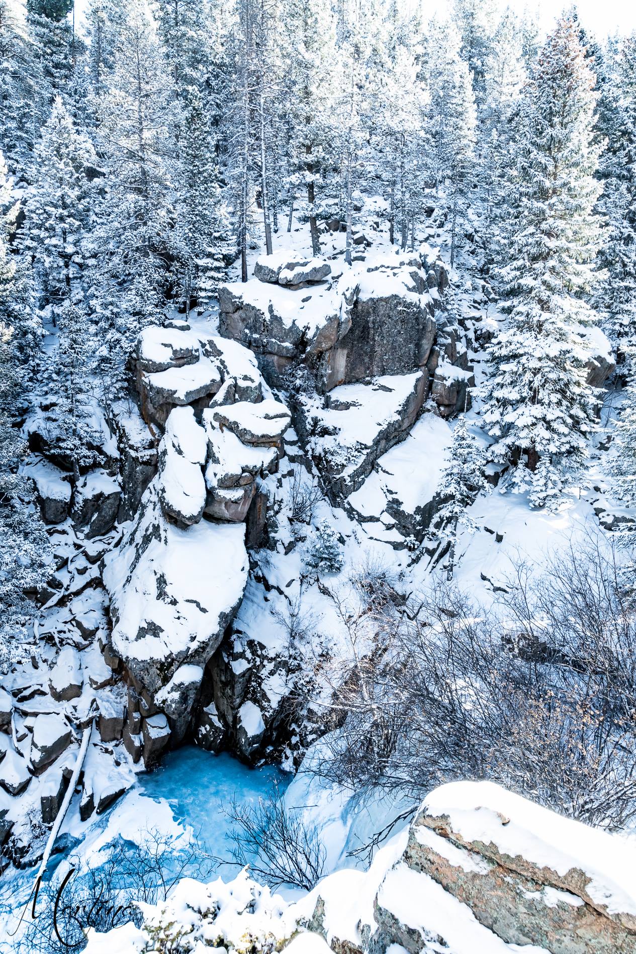
Maxwell Falls frozen in winter, snow-covered granite cliffs above a blue ice pool at the base
Maxwell Falls frozen in winter. Photo: Martina Miller.
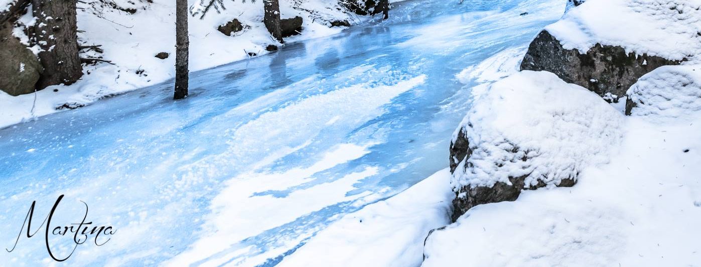
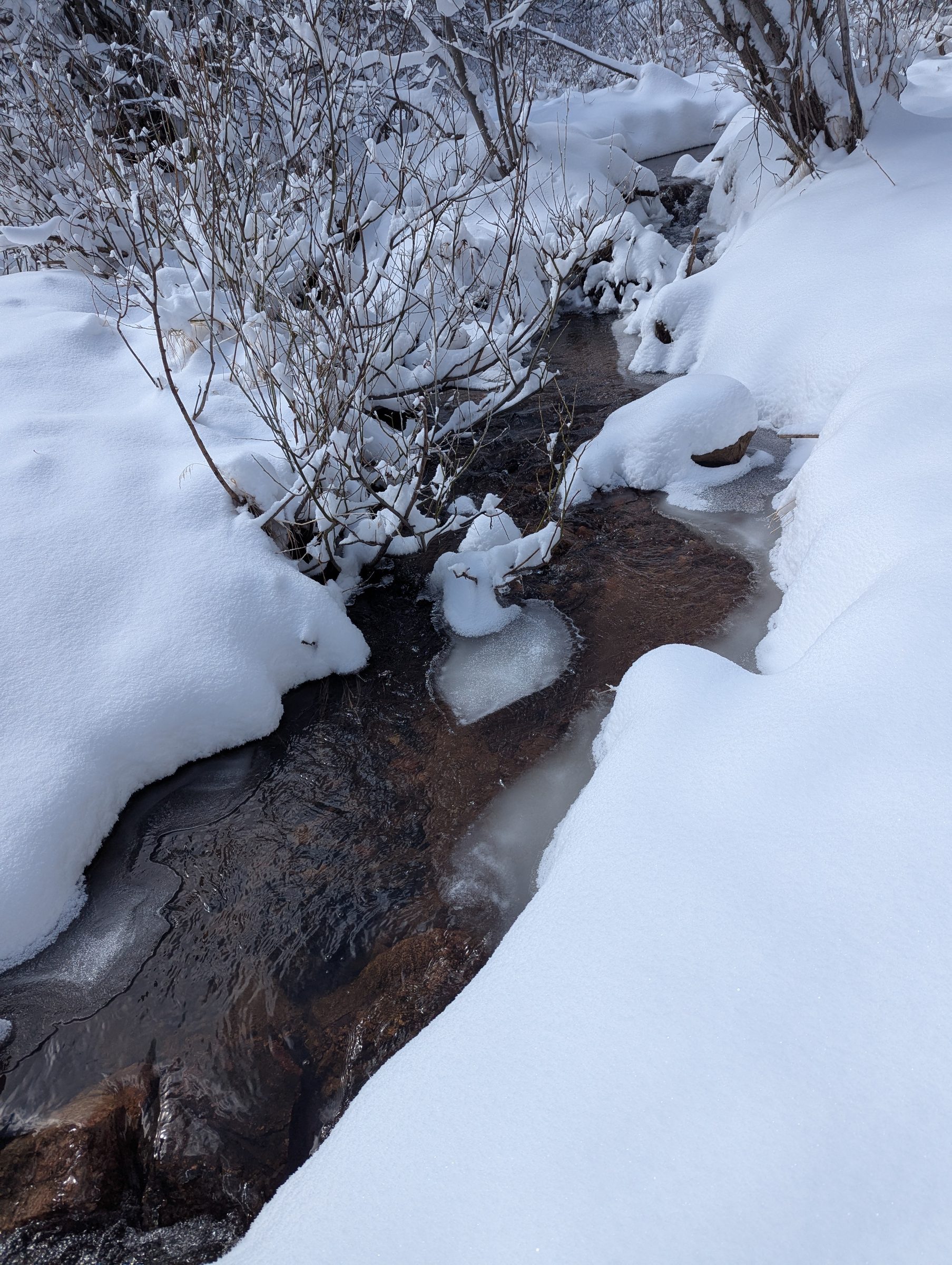
Frozen Maxwell Creek winding between snow-covered boulders and conifers
Frozen Maxwell Creek in winter. Photo: Martina Miller.
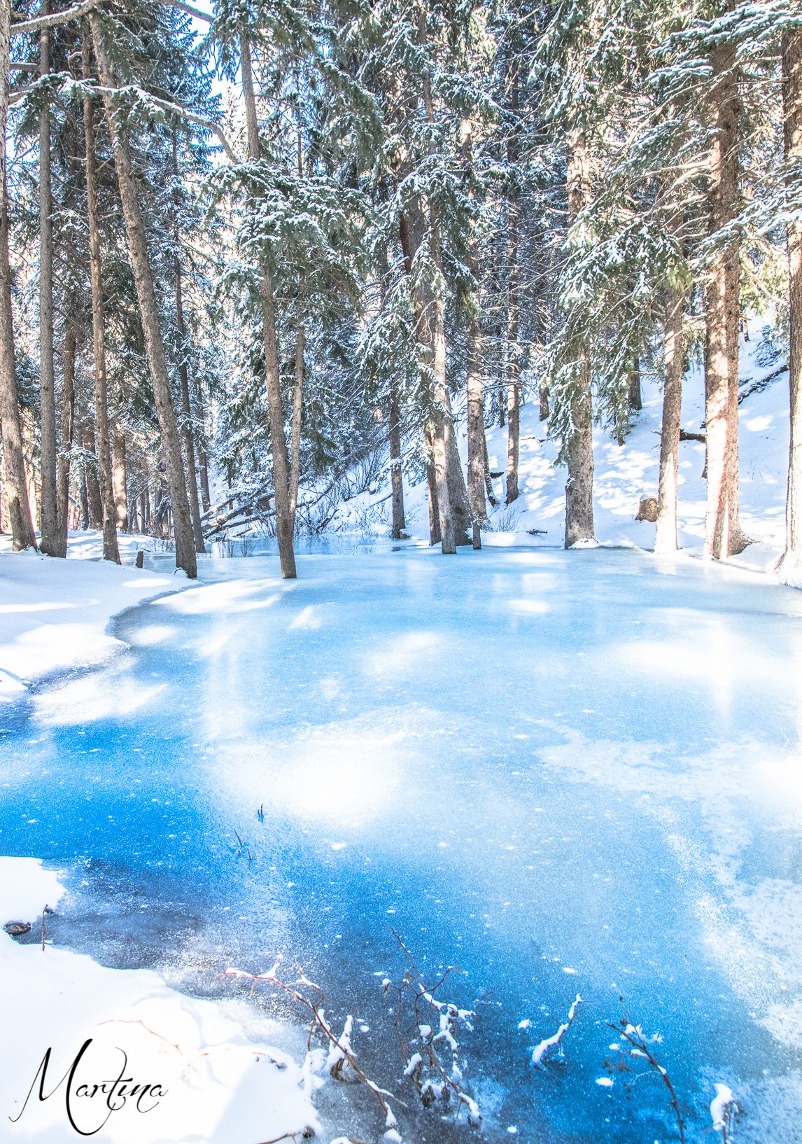
Blue creek ice spreading across the forest floor among tall snow-covered conifers
Ice on Maxwell Creek in winter. Photo: Martina Miller.
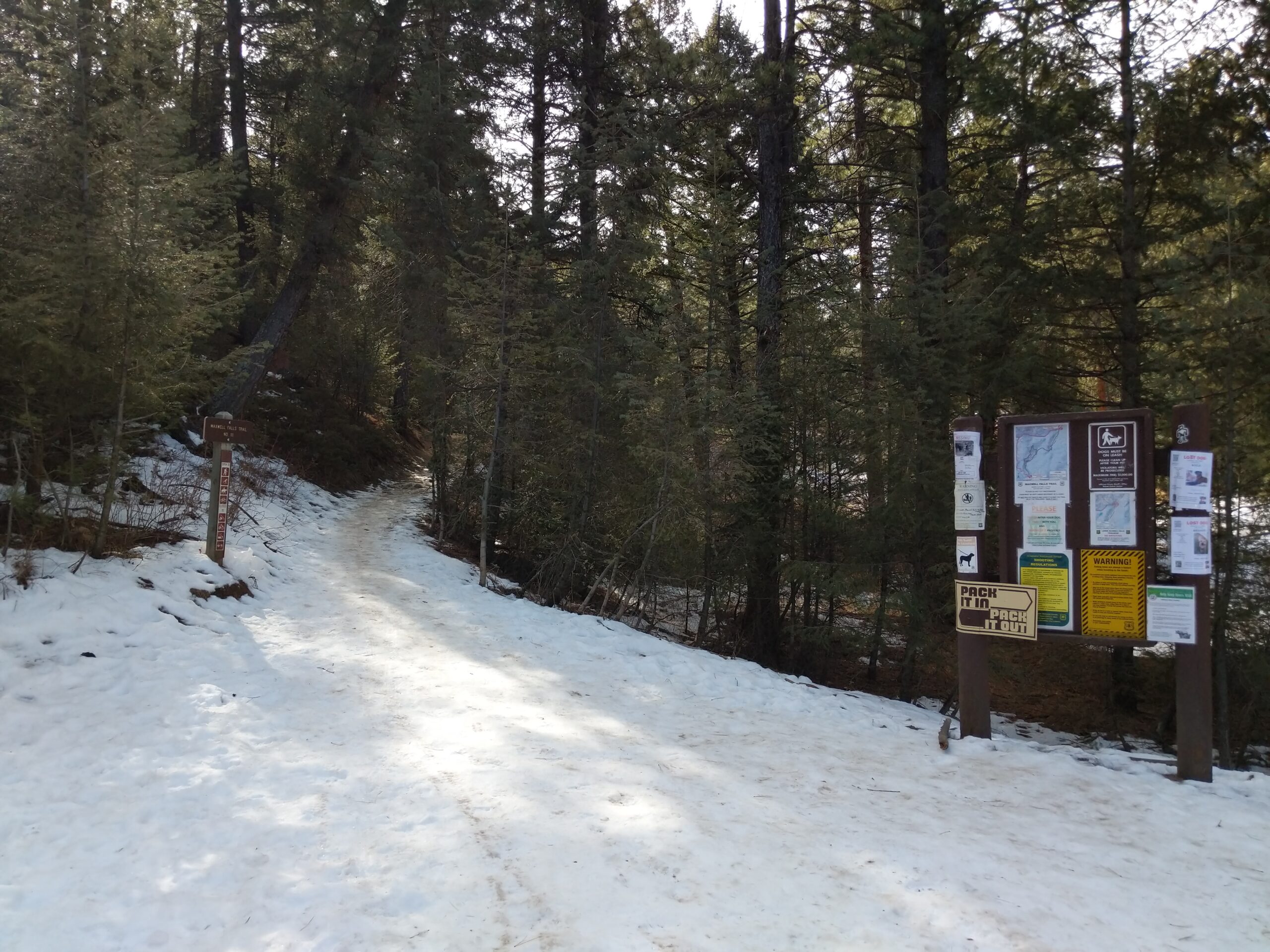
Snowy Maxwell Falls trailhead with the trail post and information kiosk at the edge of a pine forest
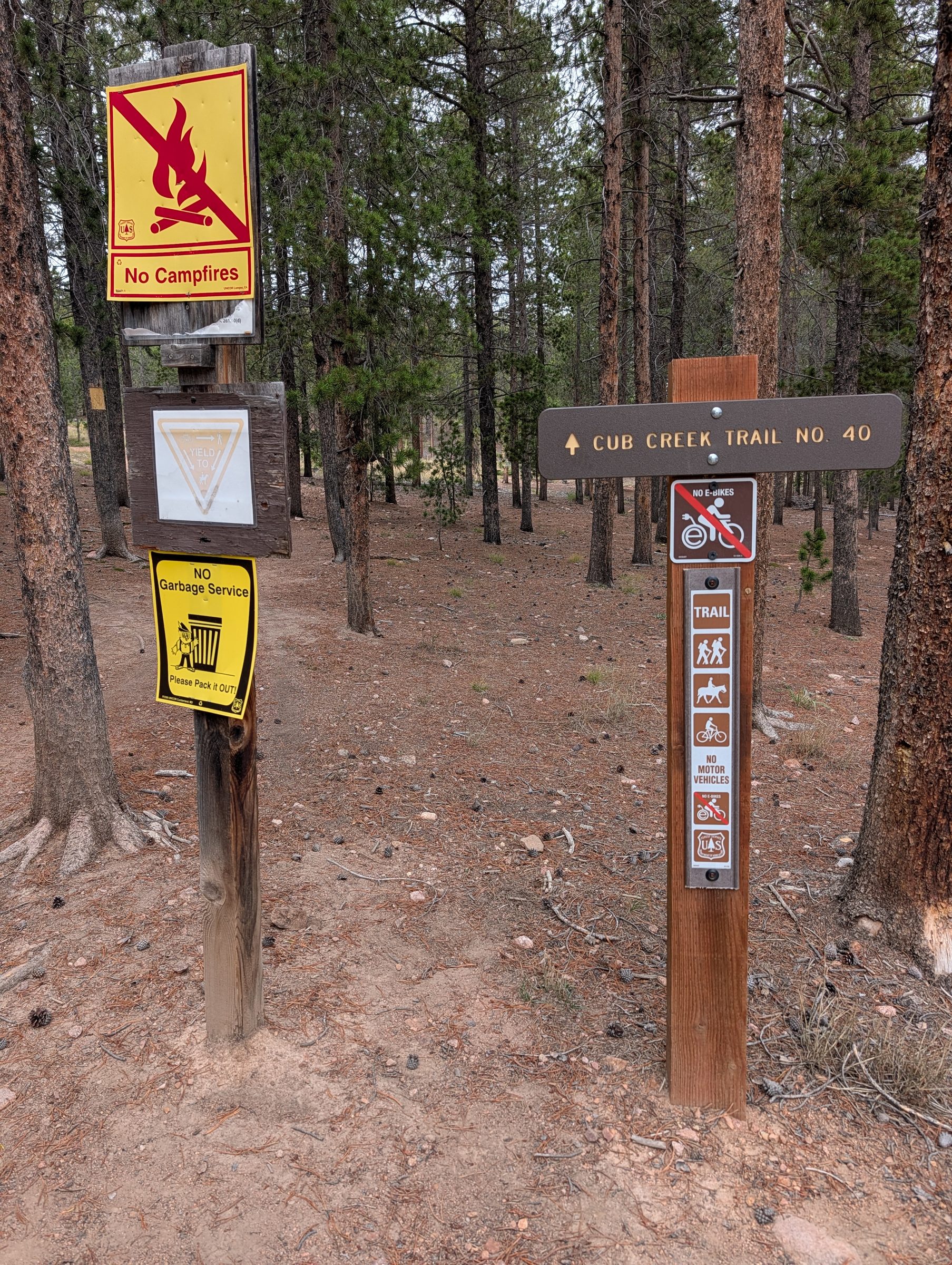
The trailhead kiosk and trail post in February. Take a photo of the map before you start.

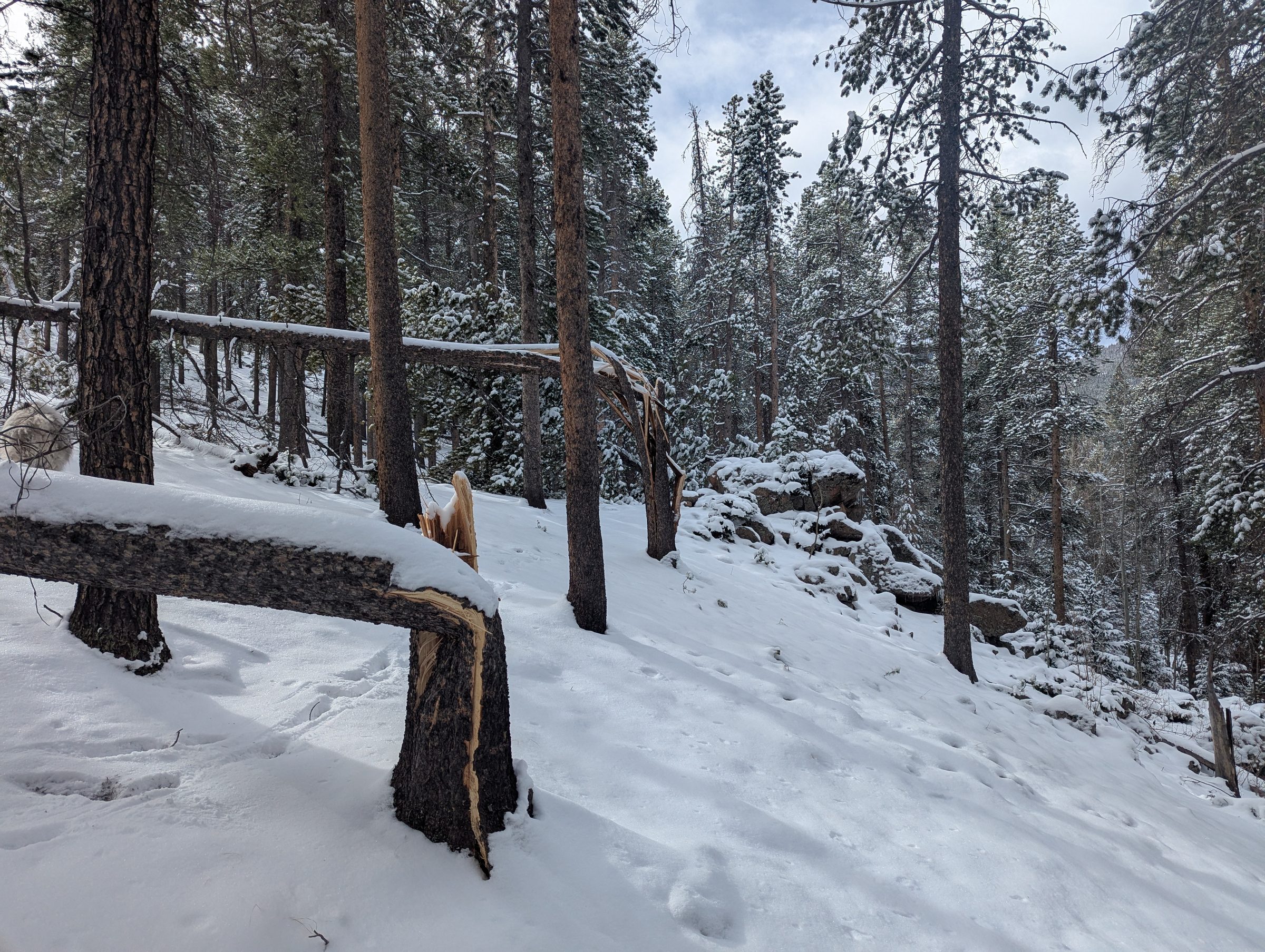
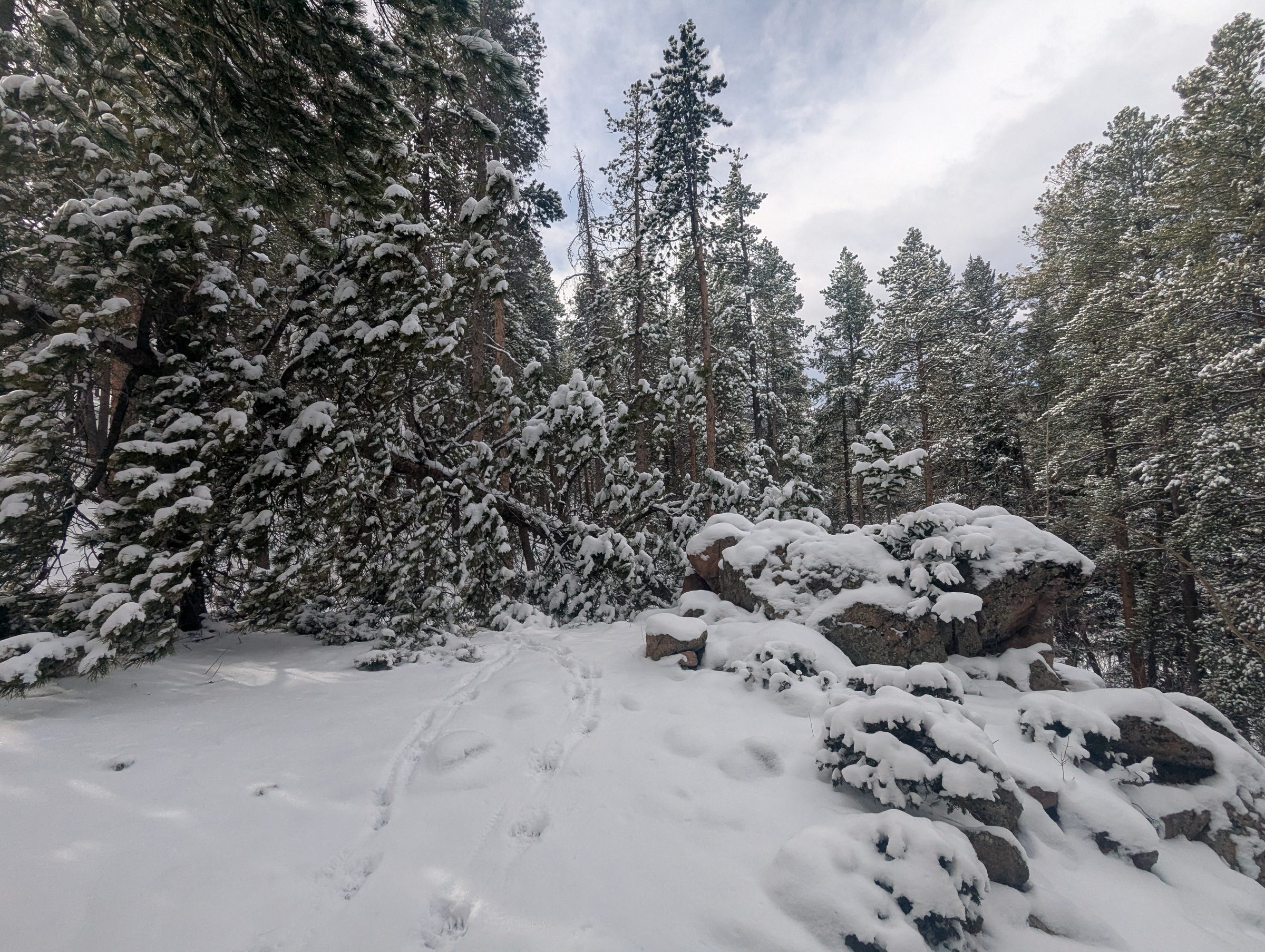
In winter the trail is usually icy. If you’re going for photos, bring microspikes. See winter at Maxwell Falls.

Wildlife

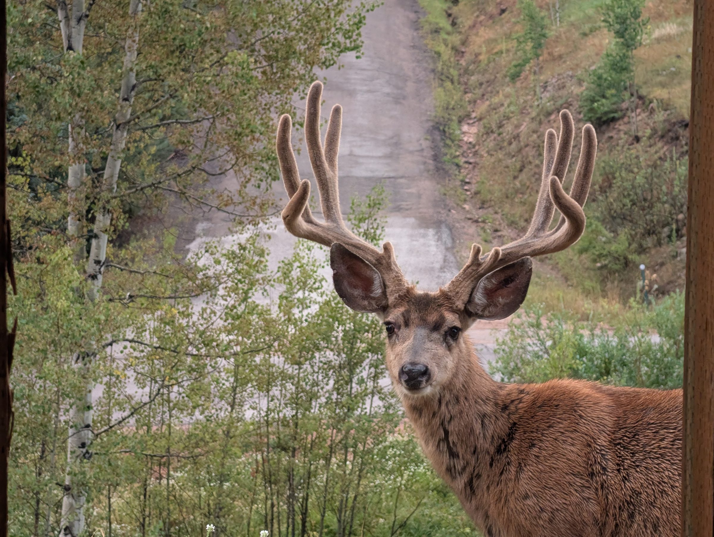
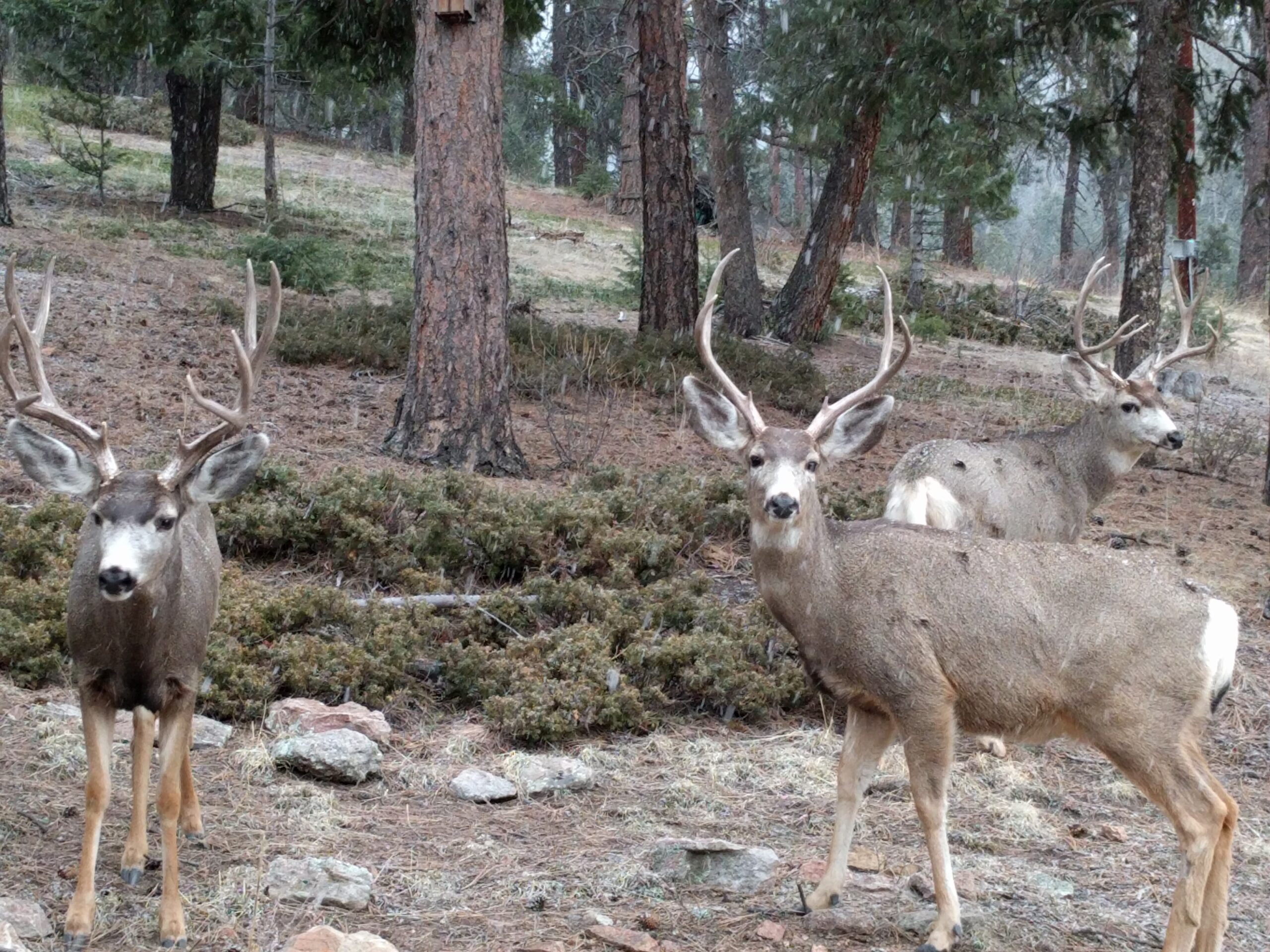
A mule deer buck with large velvet antlers looking straight at the camera.
A mule deer buck in velvet in the Evergreen foothills. Deer like this live throughout the area.
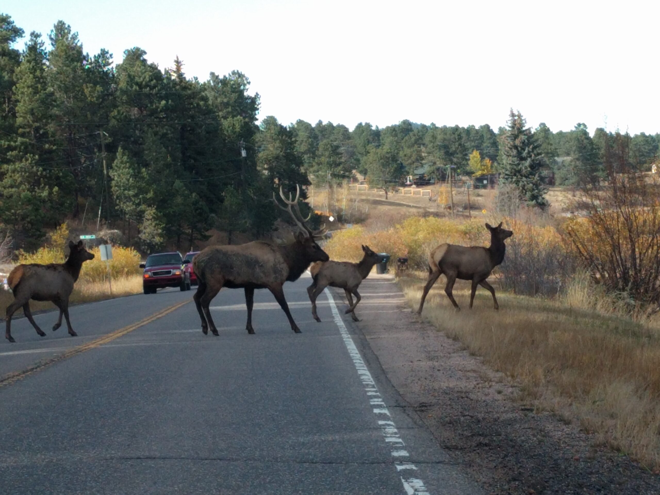
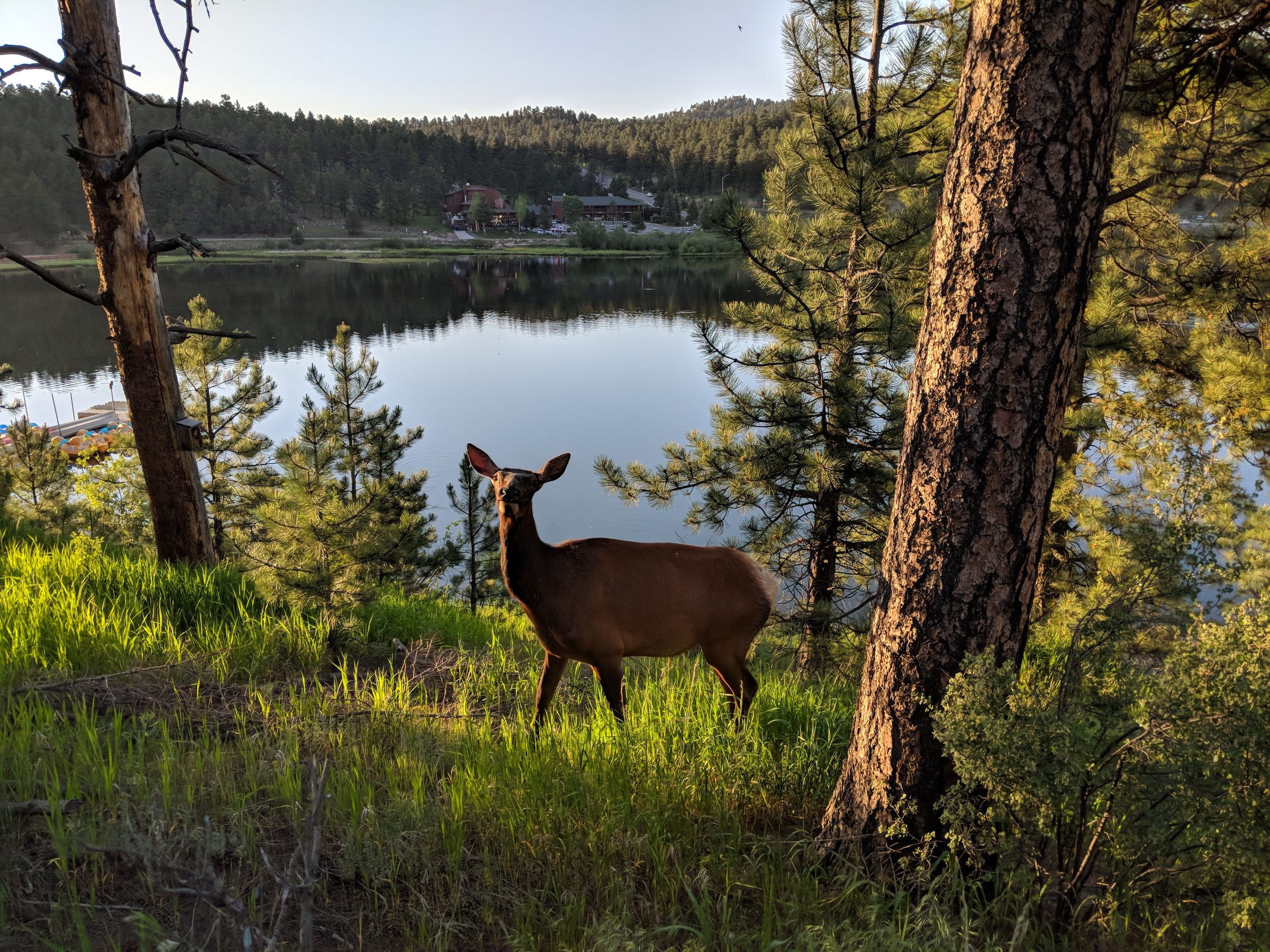
Bull elk and cows crossing a narrow two-lane mountain road as cars wait, in autumn
Elk crossing a mountain road near Evergreen in October. Drive slowly on Brook Forest Road.
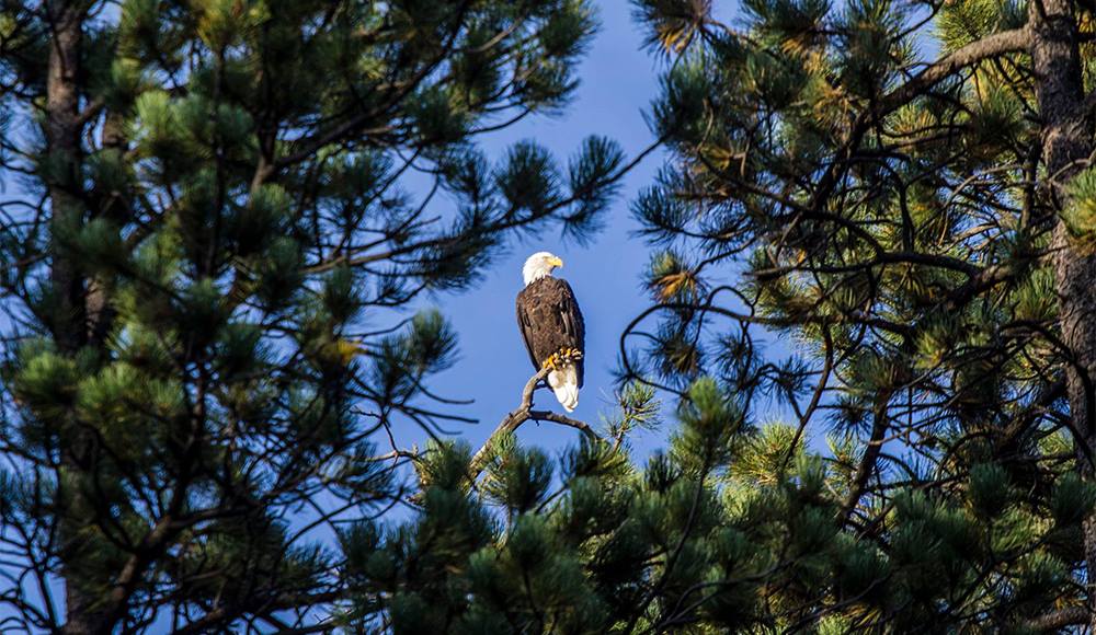
Bald eagle perched on a branch between ponderosa pine boughs against a blue sky
Bald eagle in the ponderosa pines. Photo: Chris Hanson.

Please watch wildlife from a distance and never feed it. See Safety.

On the trail

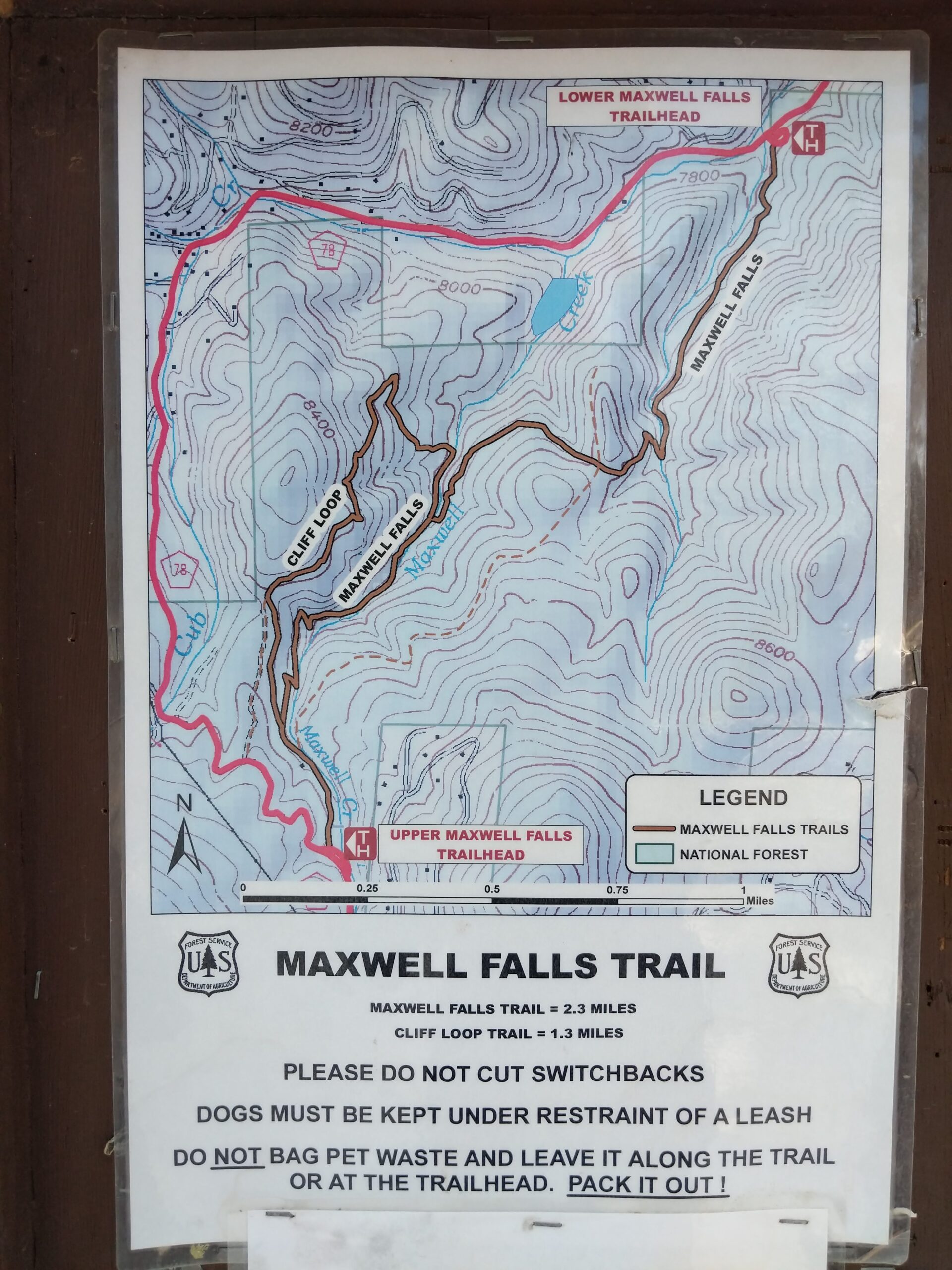
USFS Maxwell Falls Trail map sign showing the Upper and Lower trailheads, the 2.3-mile Maxwell Falls Trail and the 1.3-mile Cliff Loop
The Forest Service map posted at the trailhead (photographed February 2018): Maxwell Falls Trail 2.3 miles, Cliff Loop Trail 1.3 miles.
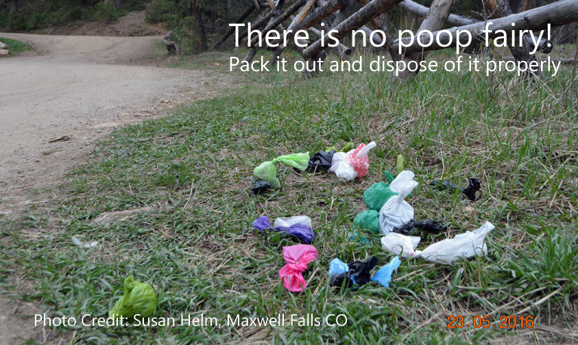
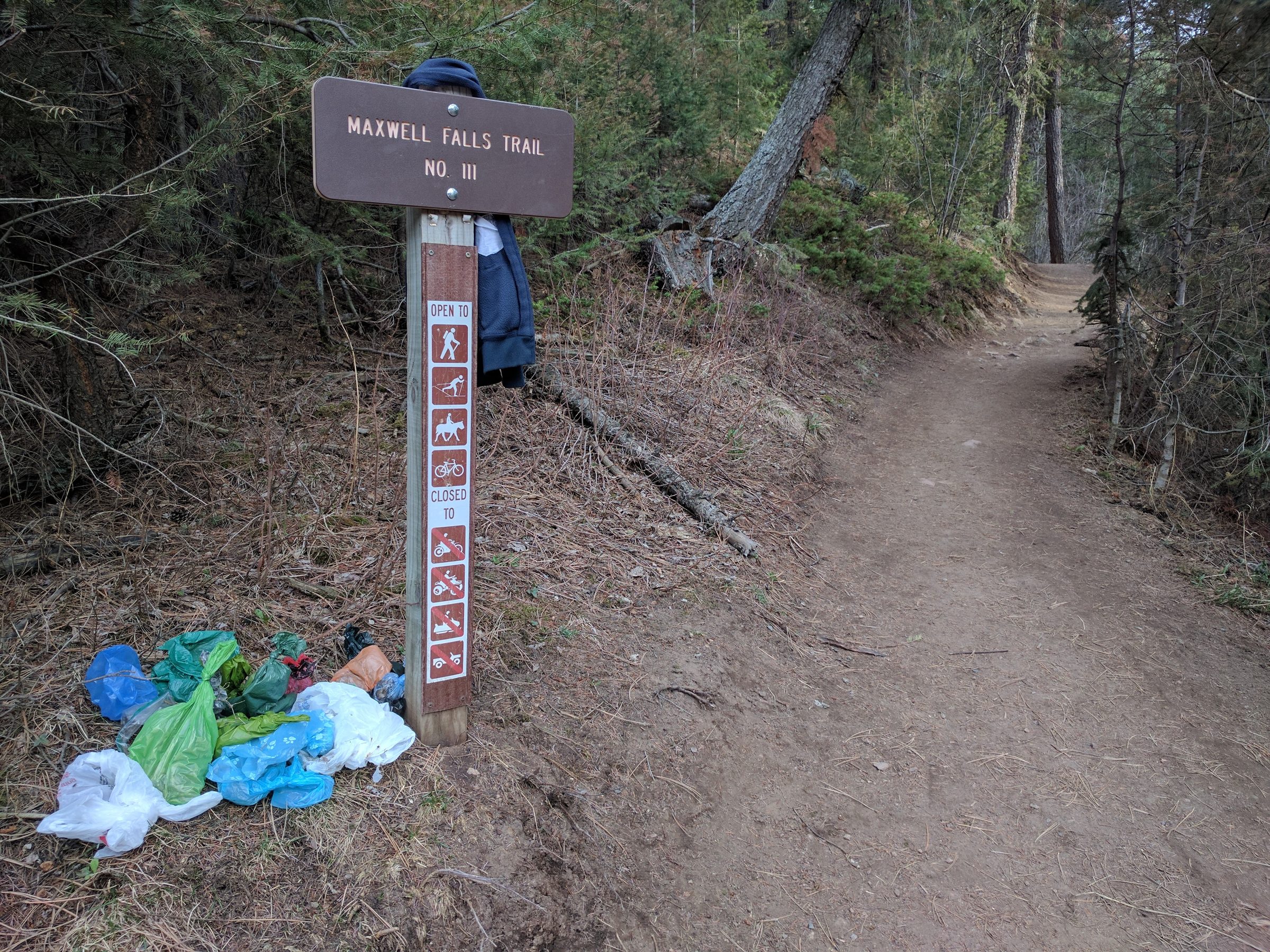
Colorful tied dog-waste bags left in the grass beside the trailhead parking area
There is no poop fairy: bagged dog waste left at a Maxwell Falls trailhead. Photo: Susan Helm.

Photography tips

For the most water, go on a late May or June morning, before the crowds and before hard light reaches the canyon floor. Ice is best in January and February (bring microspikes), and the aspens on the Cliff Loop turn in late September.

Night shots are out. The Forest Service order closes the area between sunset and sunrise, so no star trails or after-dark shoots at the falls. Plan to be back at your car by sunset.

Get your shot from the trail. The rocks around the falls are steep and slick, and every new social trail leaves another scar on the canyon.
Share your photos

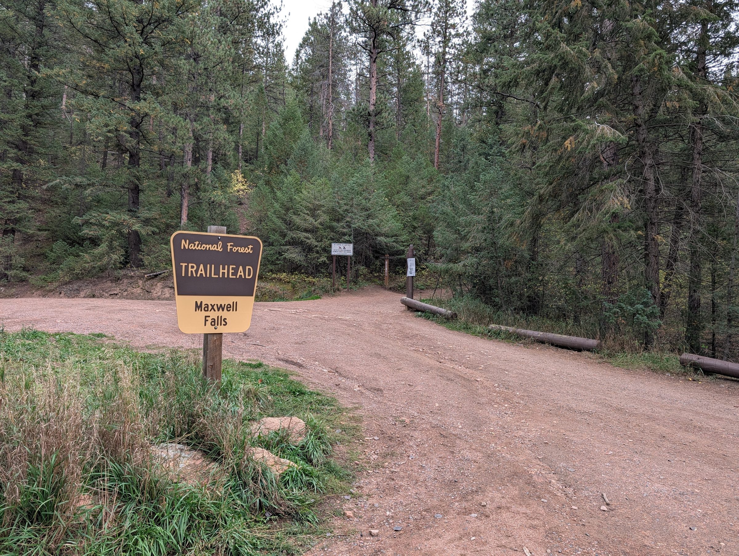
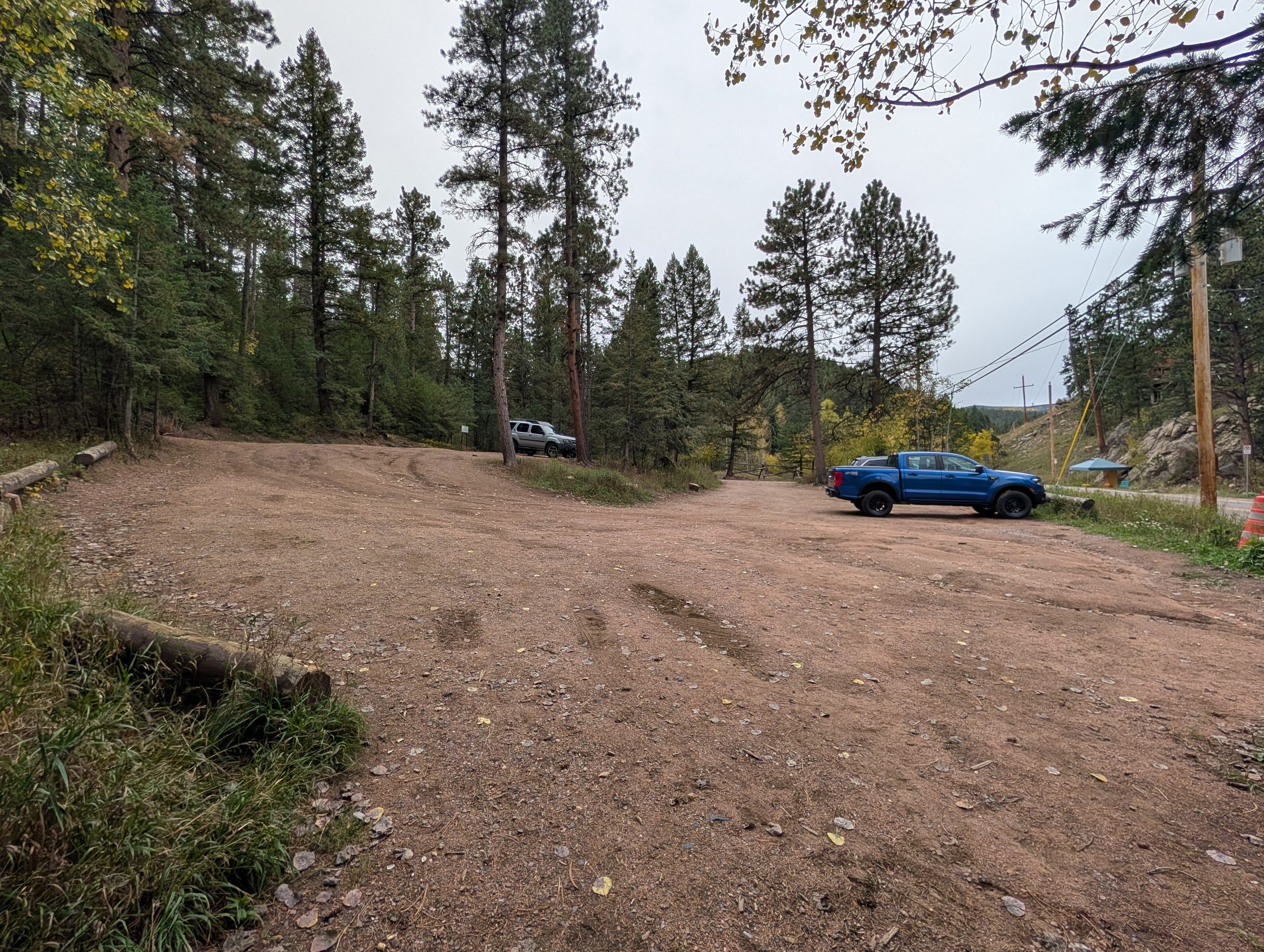
We’d love dated photos of the falls, the trailheads (empty and full) and the junctions along the trail. If you’d like to share a photo with credit, email it to contact2026@wildirismarketing.com and tell us when it was taken. We also share photos on our Facebook page.

Photo credits

  • AlphaPixel: falls, aerial, trailhead, map sign and wildlife photos. Bald eagle by Chris “Xenon” Hanson.
  • Martina Miller: winter photos of the frozen falls.
  • Susan Helm: the dog-waste photo.

All photos © their photographers and used with permission. Not for reuse without the photographer’s permission.