
Nature and history at Maxwell Falls
A small waterfall with a long story
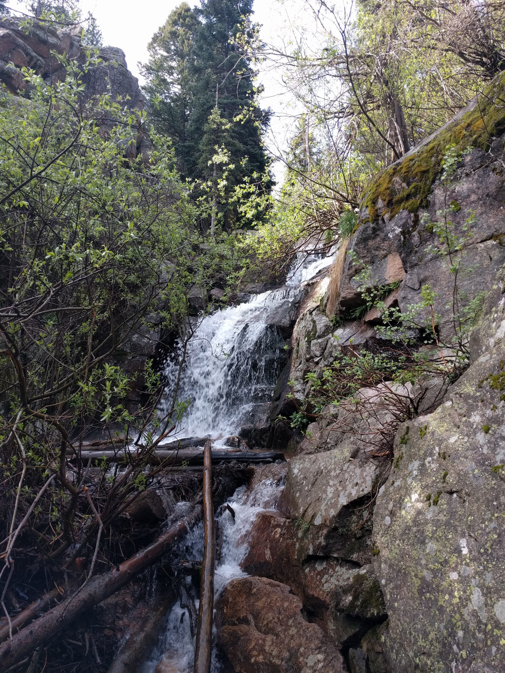
As waterfalls go, Maxwell Falls is modest, a set of tiered cascades on a small mountain creek. The rock it spills over, though, is more than a billion years old, and the water is headed for the South Platte. This page collects what we know about the place, with sources, and says plainly where we don’t know.
The creek
Maxwell Creek is a small stream that rises on the forested slopes south of the falls and flows north past them. Its official record in the U.S. Geological Survey’s place-names database (GNIS feature 182530) puts its source about 2.8 miles (in a straight line) south of its mouth, on the Conifer 7.5-minute topographic map.
Below the falls, the creek runs north down the canyon toward Brook Forest Road. Just upstream of the lower trailhead it passes a small dam, listed in the National Inventory of Dams as a 31-foot, state-regulated structure completed in 1982. It’s on private land, so please don’t go looking for it. Near the road, Maxwell Creek joins Cub Creek, which follows Brook Forest Road north to Bear Creek in Evergreen. Bear Creek then heads east through the foothills toward the South Platte River.
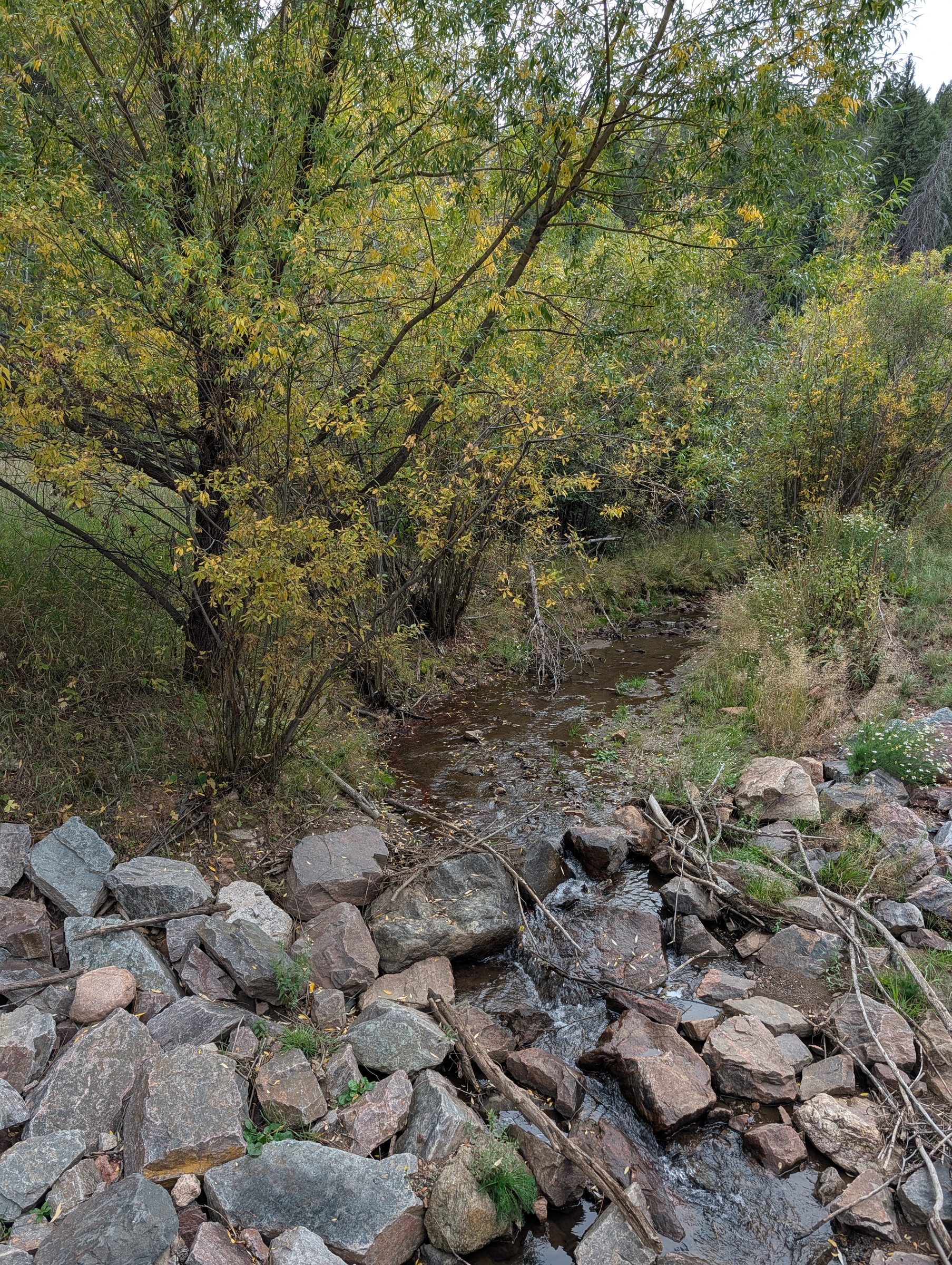
Where the creek leaves the canyon and passes under Brook Forest Road, the brush along its banks turns color in autumn.
The water you hear at the falls is part of the Bear Creek watershed, and people downstream use it. No soap in the creek, no waste near it, and pack out everything.
Maxwell Creek runs mostly on snowmelt and rain. It’s full in late spring, drops through the summer, and can be down to a trickle by fall, especially after a dry winter. See Seasons.
Nobody has published a measured height for the falls. Informal estimates put the tiered drop at around 25 ft in total. The trail passes about 40 ft above the pool at the base.
The granite
The pale, coarse rock at the falls and along the Cliff Loop is granite about 1.4 billion years old, from the Mesoproterozoic era. Geologists call it a monzogranite. It’s very close to the Silver Plume Granite found across the Front Range, but it’s mapped separately because nobody is certain it came from the same body of magma. It cooled slowly, deep underground, into large crystals, and only reached the surface much later as the Rockies rose and wore down.
The granite is why the falls come down in ledges and steps instead of one plunge, and it’s where the Cliff Loop gets its rounded outcrops and overlooks. The creek bottoms, by contrast, are lined with sand and gravel washed down in the last few thousand years.
For more detail, the U.S. Geological Survey has geologic maps of the Conifer and Evergreen quadrangles.
The forest
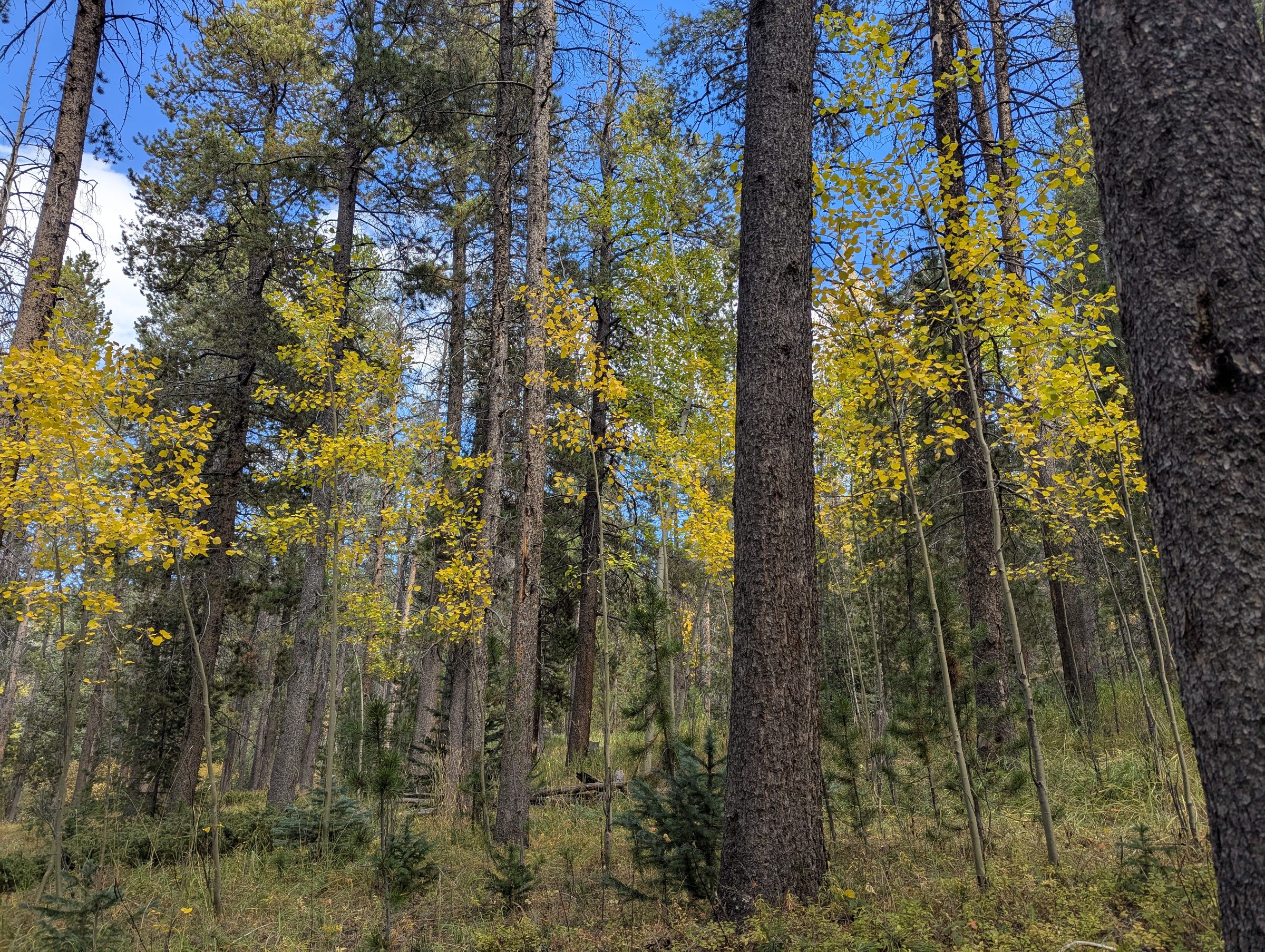
The trail runs through mixed mountain forest: ponderosa pine and lodgepole pine, Douglas-fir on the shadier slopes, and patches of quaking aspen that turn gold in late September. The aspens on the Cliff Loop are the best of them.
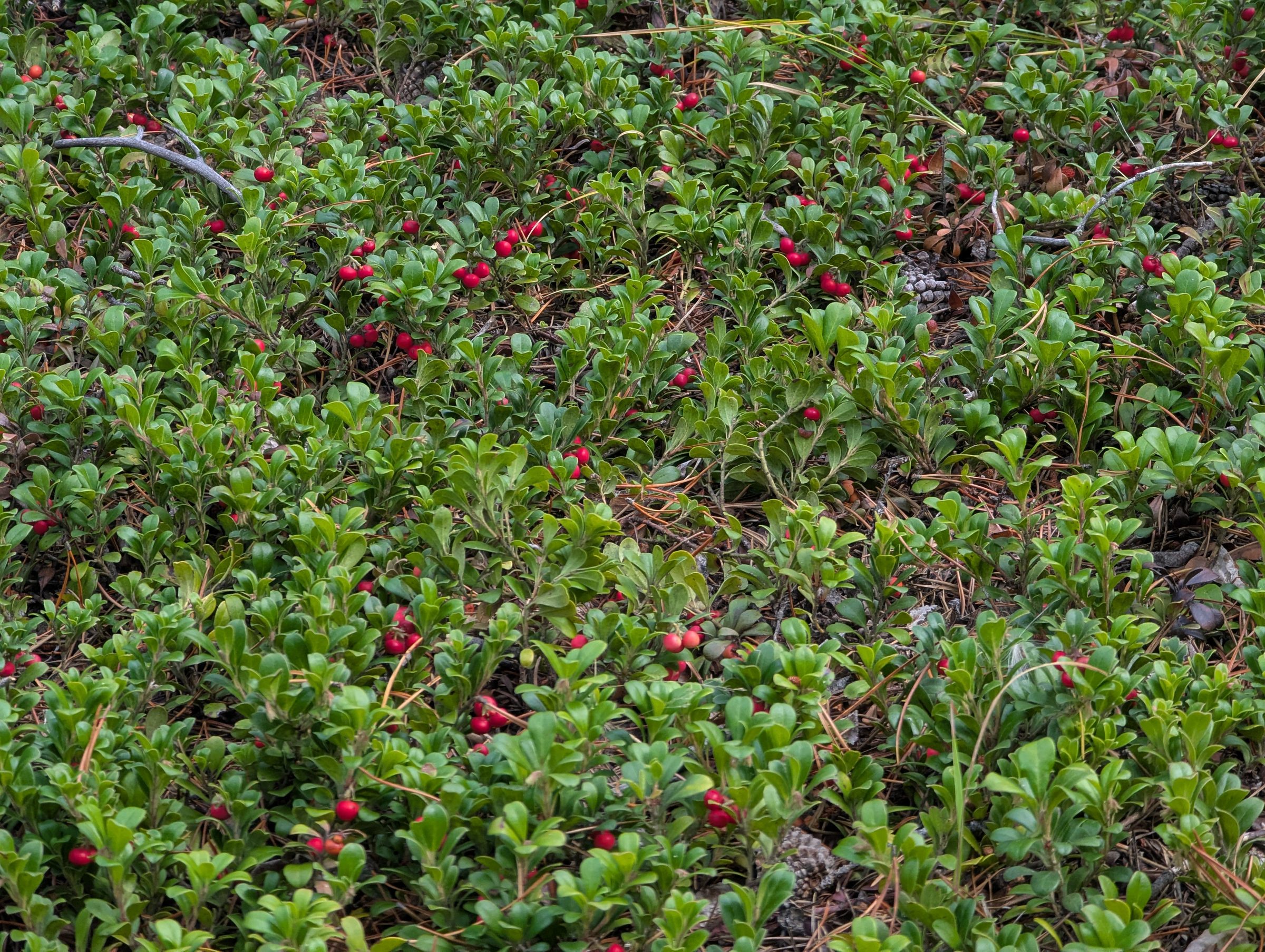
Underneath you’ll find Rocky Mountain maple, common juniper, and a low evergreen groundcover called kinnikinnick (bearberry), which is the plant recorded most often in the area. Waxflower (fivepetal cliffbush), twinberry honeysuckle, shrubby cinquefoil, wild raspberry and creeping Oregon grape fill in the rest.
Wildflowers
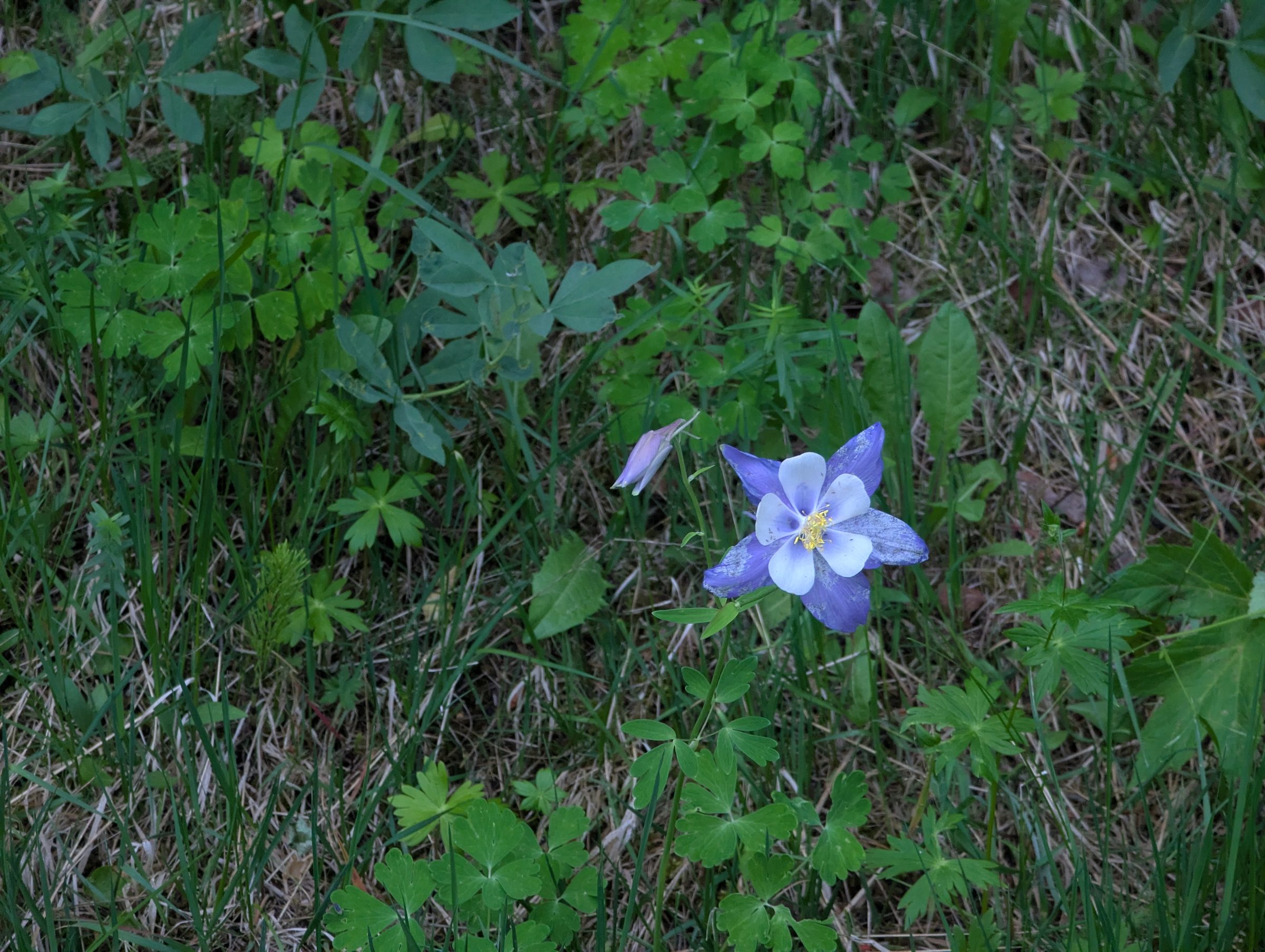
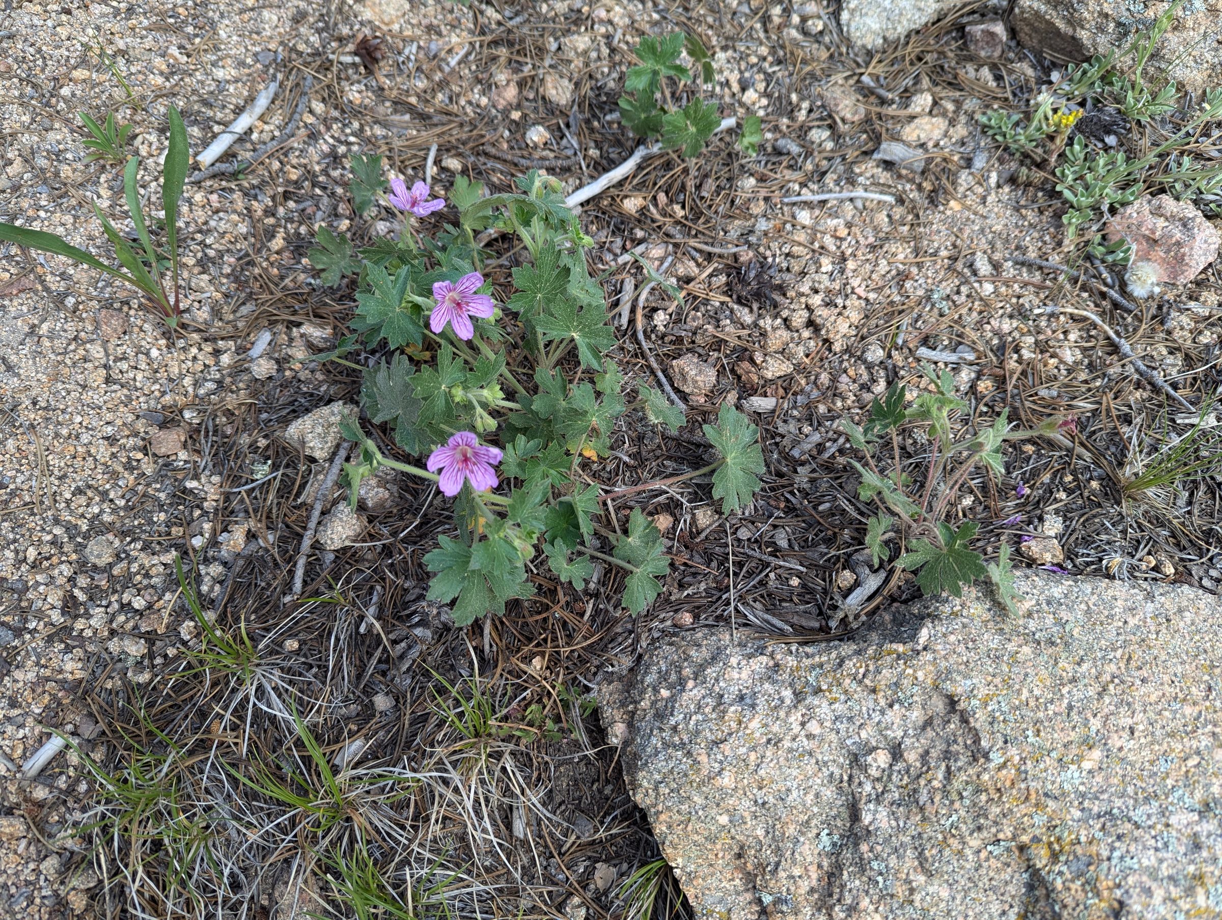
Citizen scientists on iNaturalist have recorded hundreds of plant species near the falls. Pasqueflower is one of the first to bloom in spring. Colorado blue columbine, the state flower, shows up too. In shady, mossy spots, look for fairy-slipper orchids (Calypso) and spotted and spring coralroot orchids, along with shooting star, twinflower and nodding onion. Summer brings harebell, wild bergamot, fireweed and several penstemons. Keep an eye out as well for pinedrops, blue clematis and wild roses.
Please leave the flowers for the next hiker. On a trail this busy, even a few picked stems add up.
Fungi
After summer rains, mushrooms come up all along the trail. One of the most frequently recorded here is the fly agaric (Amanita muscaria), the red-capped, white-spotted mushroom out of fairy tales. It is poisonous, so take a picture and leave it. Porcini, chanterelles and painted suillus have been recorded nearby too. Don’t eat anything you find on the trail.
Ferns and wet places
Near the creek and the falls, look for lady fern, Rocky Mountain polypody, brittle bladderfern and horsetails.
Wildlife
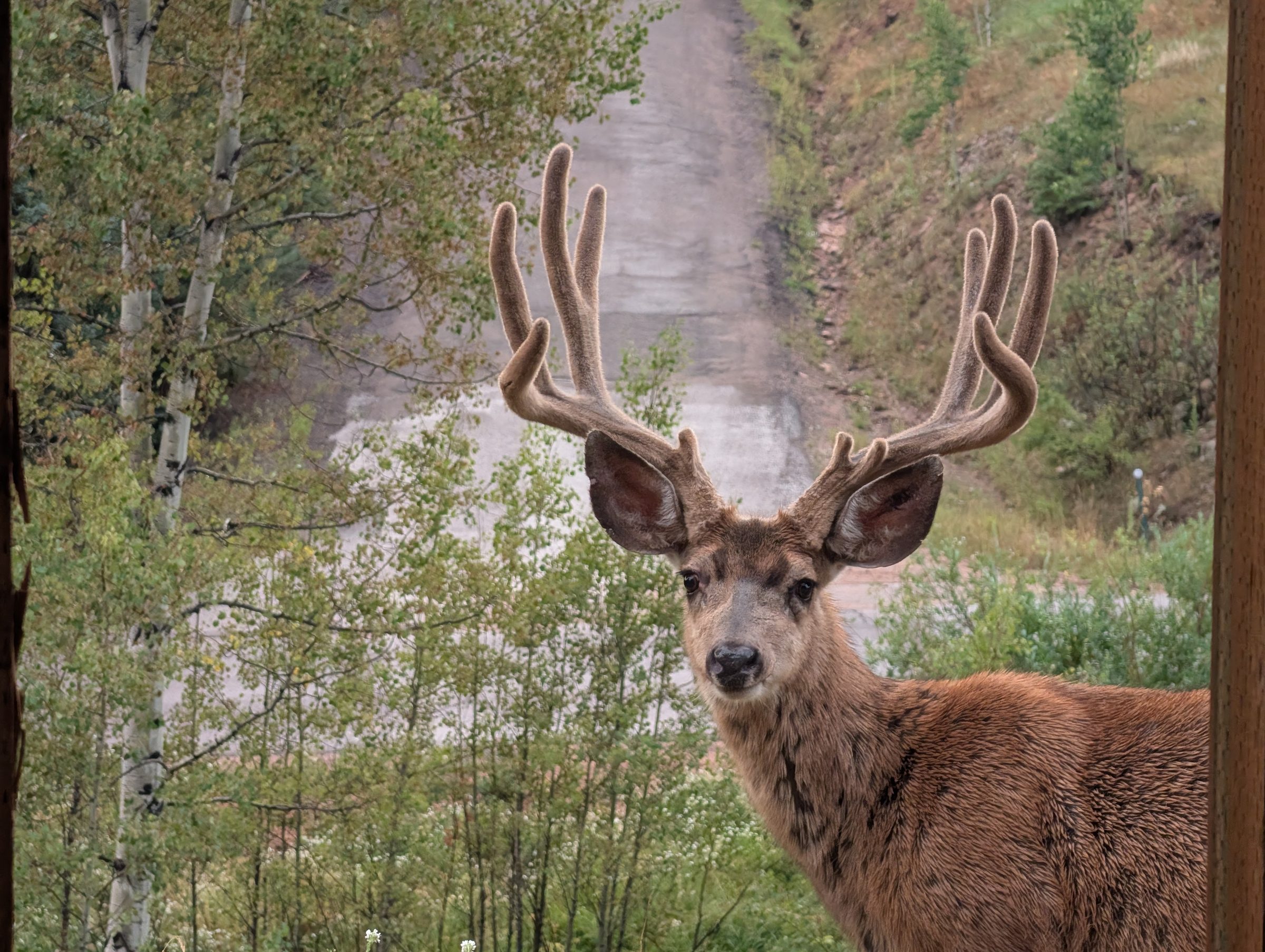
Mule deer are the large animal you’re most likely to see. Golden-mantled ground squirrels and pine squirrels (chickarees) are everywhere, and elk live in the wider Evergreen area.
Black bears live in these forests. They’re most active from late summer into fall, when they go into hyperphagia and eat for up to 22 hours a day to fatten up before hibernation.
Mountain lions follow the deer through ponderosa foothills like these (CPW). Neighbors have come across lion kills in the more off-trail parts of the area. Stay on the trail, keep kids close and keep dogs leashed.
Moose have spread across Colorado since Colorado Parks and Wildlife began reintroducing them in 1978 (CPW), and sightings now reach from Golden to Evergreen. They turn up around Maxwell Falls often enough that locals have named two of them, “Maximus Moosimus” and “Mini Max.” Watch them from a long way off. A moose treats a dog like a wolf, which makes it more dangerous to your dog than a bear is. More in Safety.
Birders see Steller’s jays, dark-eyed juncos, Townsend’s solitaires, and pygmy and red-breasted nuthatches, with broad-tailed hummingbirds in summer. The American three-toed woodpecker has been recorded here too, and Evergreen Audubon has used the upper trailhead for field trips. For butterflies, look for Weidemeyer’s admiral and the mourning cloak.
If you see something interesting, log it on iNaturalist. Every observation adds to the record of what lives here.
Weeds to watch for
A few non-native plants have gotten a foothold along the trail, including great mullein, common toadflax and Canada thistle. They travel on boots, paws and tires. Brush off before and after your hike, and stay on the trail.
Human history
Brook Forest and the Welz family
The history most closely tied to the trail belongs to Brook Forest, the small community along Brook Forest Road.
Local histories say a homestead cabin stood on the site by 1909 and was abandoned after a hard winter. In the 1910s Edwin and Marie Welz homesteaded there. Edwin was a European-trained chef, born in Vienna, who had cooked in Denver. The couple built the Brook Forest Inn, a Swiss chalet-style lodge that History Colorado dates to 1919. A post office called Brookforest opened in 1921 with Welz as postmaster.
The inn kept growing through the 1920s and 1930s, adding chalets and a castle-like tower of quartz rock, and it was at its busiest in the 1940s and 1950s. It was listed on the National Register of Historic Places in 2009 (reference 09000567). The building still stands on Brook Forest Road between the two trailheads, but the inn is closed and no longer a public business. The chalet-and-tower architecture is easy to see from the road. It’s private property, so please don’t stop in, walk the grounds or park there.
One local account has Mr. Welz asking the U.S. Forest Service to build a trail to a waterfall on public land nearby. It’s a good story, but so far we’ve only found it in secondary sources. If you have documents or family history about it, we’d love to hear from you.
Who was Maxwell?
We don’t know yet. The falls take their name from Maxwell Creek, but none of the sources we’ve checked (Forest Service pages, the USGS place-names database, local histories) says who the Maxwells were. We’d rather admit that than make something up.
If you know, or have a lead such as an old homestead record, a newspaper clipping or a family story, please get in touch. We’ll credit you when we add it here.
Modern times
- May 2021: after years of campfires and overnight use in the canyon, the Forest Service made Maxwell Falls and the start of Cub Creek Trail day use only, with no camping or campfires. Rules.
- October 2024: the Forest Service and Jefferson County replaced a corroded culvert under Brook Forest Road at the lower trailhead.
- August 2025: a permanent Forest Service recreational shooting order closed the National Forest land around Maxwell Falls to target shooting. Rules.
- September 2026: Stage 1 fire restrictions for the Clear Creek Ranger District, running through December 31, 2026.
Friends of Maxwell Falls
This website started in 2017 as a neighborhood effort to help visitors find the falls and leave no trace. Today the Friends of Maxwell Falls keep it up, a partnership of AlphaPixel, Wild Iris Marketing and Evergroove Studio. About us.
Sources
- USGS GNIS via The National Map (Maxwell Creek, ID 182530; Cub Creek, ID 182077)
- USACE National Inventory of Dams: CO02419
- Bear Creek Watershed
- Macrostrat geologic map units at Maxwell Falls
- USGS: Reconnaissance geologic map of the Conifer Quadrangle (MF-597) and Geologic map of the Evergreen Quadrangle (I-786-A)
- iNaturalist species observed within 1.5 km of the trail
- History Colorado: Brook Forest Inn
- National Park Service NPGallery: Brook Forest Inn, NRHP 09000567
- NRHP listings in Jefferson County, Colorado (Brook Forest Inn, ref. 09000567)
- Rocky Mountain Paranormal: The Brookforest Inn, History (PDF)
- USFS project 66044: Brook Forest Rd / Lower Trailhead culvert replacement
- USFS: Maxwell Falls and Cub Creek Occupancy and Use Restrictions
- 5280: Hiking Maxwell Falls (2012)
- Colorado Parks and Wildlife: Living with Bears, Mountain Lions and Moose
- Denver7: Moose sightings increase in Jefferson County
- USFS: Permanent Recreational Shooting Order 02-10-00-25-02